Getting around the United States without a car: subway, Uber, train and bus
Updated on
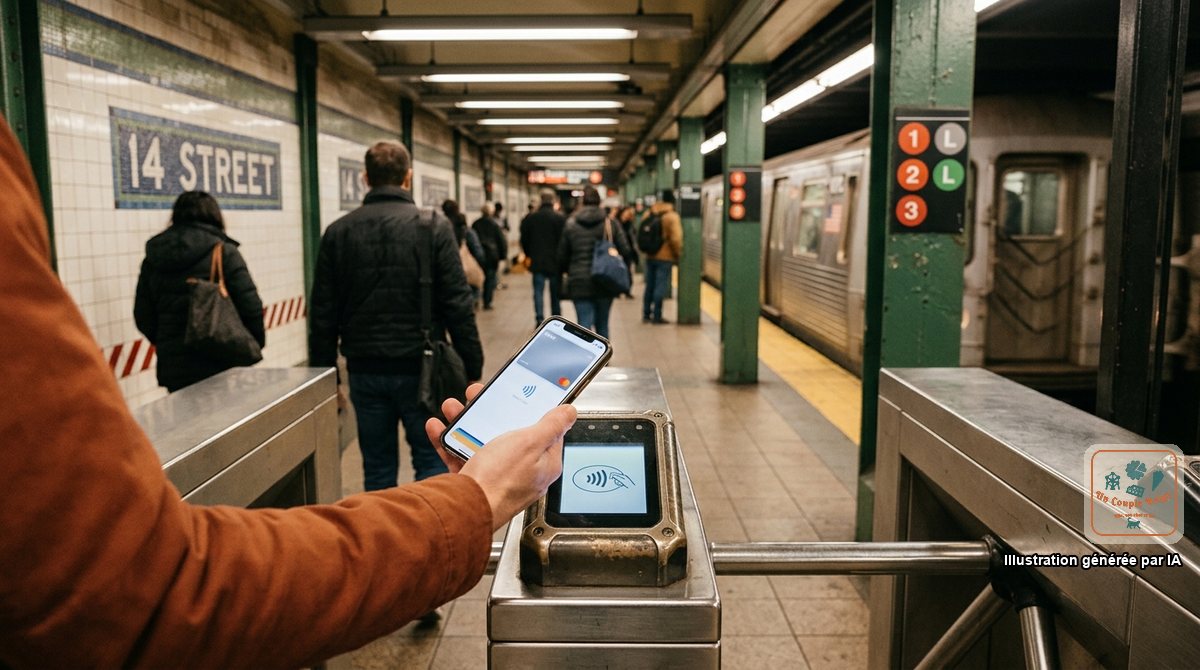
The United States is the land of the car, but not everywhere. In the big cities of the East Coast and in San Francisco, a car is expensive and wastes time.
We spent four days in New York on foot and by subway, and we tried the driverless taxis in San Francisco. Here’s how to manage without one, in town and between two cities.
The cities where you can do without
| City | Without a car? | How |
|---|---|---|
| New York | Yes, absolutely | Subway, walking, ferry |
| Washington | Yes | Metro, walking |
| Boston | Yes | Subway (the “T”), walking |
| Chicago | Yes | Elevated trains (the “L”), walking |
| San Francisco | Yes | Streetcars, buses, cable cars, walking, Waymo |
| Seattle, Portland, Philadelphia | Yes for the centre | Tram, light rail, walking |
| New Orleans | Yes for the centre | Streetcar, walking |
| Las Vegas | On the Strip | Walking, bus, monorail |
| Miami Beach | For South Beach | Walking, Uber |
| Los Angeles, Orlando, Phoenix, Houston | Difficult | Car or Uber |
The New York subway
It’s neither the most modern nor the cleanest, but it runs day and night and goes everywhere. We took it several times a day, including in the evening to go and see the Christmas lights in Brooklyn, without ever feeling unsafe.
- Payment is contactless, with a bank card or phone, directly at the turnstile. That’s the OMNY system: there’s no ticket to buy.
- The price: 3 dollars a ride in 2026, transfers included. If you always use the same card, you pay nothing more beyond about 35 dollars over seven days.
- One card per person: everyone goes through with their own card or phone.
- Uptown and Downtown: the platforms are separate depending on the direction, northbound or southbound. Check before going down the stairs.
- Local and Express: express trains skip stations. Look at the map.
- At weekends and at night, lines are rerouted for works. Google Maps and Citymapper take that into account.
From JFK Airport, we took the AirTrain to Jamaica station, then the E line to Manhattan. The AirTrain costs 8.75 dollars in 2026 and is paid for on the way out. Allow an hour and less than 12 dollars per person, against 70 to 90 dollars by taxi.
The other networks
- Washington: a clean, simple metro, whose fare varies with the distance and the time of day. It serves the national airport.
- Chicago: the “L” links both airports to the centre.
- San Francisco: BART comes in from the airport, and Muni streetcars and buses cover the city. The famous cable cars cost 9 dollars a ride and are more of an attraction than a means of transport.
- Boston: the “T” serves the airport and the historic districts.
Almost all of them accept contactless payment by card or phone.
Uber and Lyft
Both apps work in every city, and in many small towns near the parks.
- Install both and compare: prices often differ by 20 to 30%.
- The price is given before you order. It climbs at rush hour, in the rain and outside stadiums after a game.
- The tip is left in the app after the ride, 15 to 20% (see tipping).
- At airports, pick-ups are at a specific spot, shown by Rideshare signs.
- Check the number plate and the driver’s name before getting in.
- In rural areas, you can find a car for the way out, not always for the way back. Don’t count on it for reaching a trailhead.
Driverless taxis
In San Francisco, we took a Waymo: a car with nobody at the wheel, ordered through an app like an Uber. It drives cautiously, keeps to the speed limits to the letter, and the ride is an experience in itself. The service also exists in Los Angeles, Phoenix and a few other cities, and is expanding year by year.
We tell the story of that first ride in the day 28 travel diary.
Taxis
They’re still handy in New York, where you hail them in the street (the lit number on the roof means a taxi is free), and at airports, where an official queue allocates them. The meter starts at a few dollars, you pay by card on the screen in the back, and you add a 15 to 20% tip.
Between cities: the train
The Amtrak network is very uneven.
The Northeast Corridor is the only truly competitive line: Boston, New York, Philadelphia, Baltimore and Washington, from city centre to city centre.
| Journey | Time | Usual price |
|---|---|---|
| New York – Washington | 3 hrs to 3 hrs 30 | $40 to $150 |
| New York – Boston | 3 hrs 45 to 4 hrs 15 | $40 to $150 |
| New York – Philadelphia | 1 hr 15 to 1 hr 30 | $25 to $90 |
Prices rise as departure approaches: book two to four weeks ahead. The fast Acela train saves half an hour for a lot more money.
Long-distance trains (the California Zephyr from Chicago to San Francisco, the Coast Starlight from Seattle to Los Angeles, the Empire Builder to Glacier) are journeys in their own right: two days of scenery, frequent delays, expensive sleeping compartments. They don’t replace a car for sightseeing.
In Florida, the private Brightline train links Miami to Orlando in three and a half hours.
Between cities: the bus
Greyhound, FlixBus and Megabus link all the big cities for 15 to 60 dollars. It’s the cheapest solution, fine on journeys of under five hours in the Northeast, long and uncomfortable beyond that. Bus stations are often in rather unpleasant neighbourhoods: arrive in daylight.
And the plane
Beyond 600 km, the plane almost always wins. Between Washington and Florida, we chose two days on the motorway, a choice we planned and stand by: flying would have taken us a day as well. The instructions are in taking a domestic flight.
Without a car in the parks?
It’s possible in a few of them, thanks to the free shuttles:
- Zion: shuttle from Springdale, then into the canyon.
- Grand Canyon, South Rim: shuttles along the rim, and a scenic train from Williams.
- Yosemite: regional YARTS buses from the neighbouring towns, shuttles in the valley.
- Glacier: shuttle on the Going-to-the-Sun Road.
- Acadia and Bryce Canyon: shuttles in season.
To get from one park to another, you need a car or an organised tour from Las Vegas, Salt Lake City or San Francisco.
Cycling and walking
- Bike-share schemes (Citi Bike in New York, Bay Wheels in San Francisco, Divvy in Chicago) are rented by the ride or by the day through an app.
- Crossing the Golden Gate by bike to Sausalito, returning by ferry, is a classic.
- On foot, cross at the crossings: the red hand means stop, the white figure means go. Cars turning right on red don’t always look out for pedestrians.