Black Canyon of the Gunnison: a chasm so narrow the sun barely gets in
Updated on
How long should you spend there?
At a glance
- Entrance fee
- $30 per vehicle for 7 days, with no surcharge for non-residents.
- Best time to go
- From May to October. In winter, the South Rim road is closed beyond the visitor center, and the North Rim road entirely.
- Book ahead
- None to enter. You need a free permit to go down to the bottom of the canyon.
- Getting around
- By car, on the South Rim road with its overlooks. The North Rim is a two- to three-hour detour.
| Walks and hikes | Distance | Time | Level |
|---|---|---|---|
| Cedar Point | 1 km (round trip) | 20 min | easy |
| Rim Rock Trail | 1.6 km (round trip) | 30 to 45 min | easy |
| Warner Point | 2.4 km (round trip) | 1 hr | moderate |
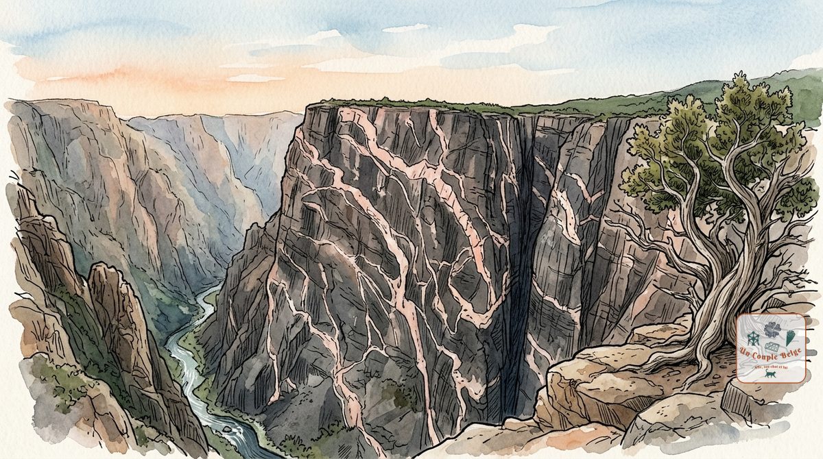
The Black Canyon isn’t big, but it is brutal. The Gunnison River has sawn through the rock almost vertically. In places the canyon is deeper than it is wide, and the sun only touches the bottom for a few minutes a day. Hence its name.
History and origins
The Gunnison drops faster here than almost any river in North America. In two million years it has cut into a very hard rock, nearly two billion years old. At the deepest point the walls are more than 800 metres high. At the narrowest, they are only 12 metres apart at water level.
The Ute knew the canyon, but avoided it. The first expeditions that tried to travel down it, at the end of the 19th century, abandoned their boats. The site was protected in 1933 and became a national park in 1999.
What to do there
- The South Rim road: 11 km and a dozen overlooks, all a few minutes’ walk from the car park. This is where everyone goes.
- Gunnison Point: right behind the visitor center, the first plunging view.
- Chasm View: the place where the canyon is at its narrowest. The far rim seems within arm’s reach.
- Painted Wall: the highest cliff in Colorado, nearly 700 metres, streaked with veins of pale rock.
- Warner Point: a ridge trail at the end of the road, with views of the canyon on one side and the mountains on the other.
- The East Portal road: a very steep descent to the river. It’s closed to vehicles over 6.70 m and shut in winter.
- The North Rim: a gravel road, a few overlooks and almost nobody.
- The night sky: the park is certified for the quality of its night sky.
Stories and good to know
- Between the two rims there are sometimes only 300 metres as the crow flies. By car, it takes two to three hours.
- The pale veins of Painted Wall are molten rock that squeezed into the cracks, more than a billion years ago.
- Climbers come a long way for these walls, among the hardest and most committing in the United States.
Practical information for your road trip
- Pass: the America the Beautiful pass covers the entrance fee. Everything is explained in our guide to the national parks pass.
- Getting there: the South Rim entrance is 25 minutes from Montrose. Allow about 5 hrs from Denver.
- On site: there’s no restaurant and no fuel in the park. Fill up in Montrose.
- Heights: the overlooks are protected by railings, but the drop is impressive. Hold children by the hand.
- Where to stay: in Montrose. The park has a campground on each rim.
- Combine it with: the Million Dollar Highway to Ouray and Silverton, or Mesa Verde, further south.
Quick quiz
Question 1 / 3
Where to stay near Black Canyon of the Gunnison: a chasm so narrow the sun barely gets in
Stay22 affiliate links: if you book through here, we earn a small commission at no extra cost to you. Thanks for your support!
On the ground

Sponsored by UnCoupleBelge
Follow us on Instagram
Box sponsored by a partner
Other places nearby
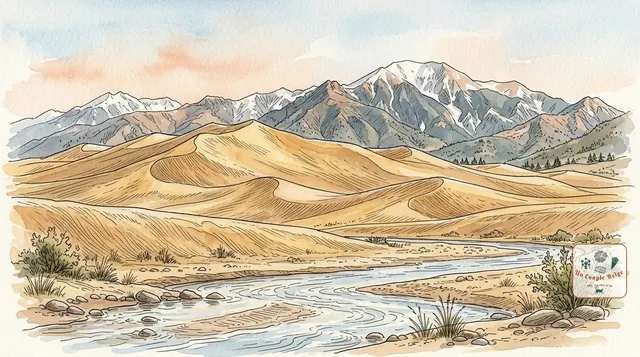
Great Sand Dunes: the tallest dunes in North America, at the foot of the Rockies
The tallest dunes in North America, at the foot of snow-capped mountains in Colorado, with a creek flowing at their feet in spring.
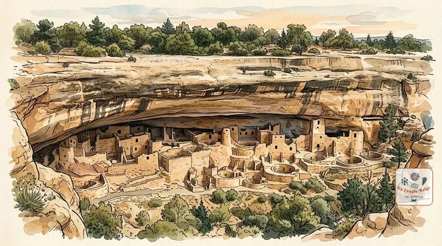
Mesa Verde: the cliff dwellings of the Ancestral Puebloans
Entire villages built beneath the cliffs 800 years ago, in south-west Colorado. The largest group of cliff dwellings in the United States.
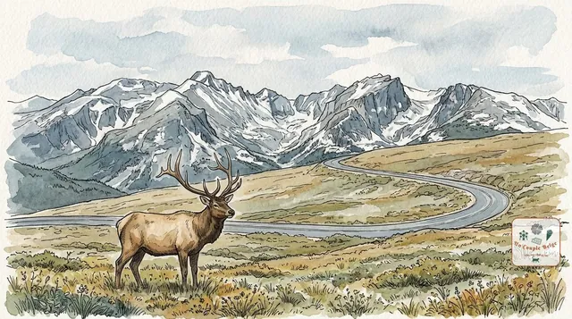
Rocky Mountain: the highest road in America and elk in the valley
The high mountains of Colorado, 1 hr 30 from Denver: a road that climbs to more than 3,700 metres, alpine lakes, elk and 4,000-metre summits.
Comments