Moab: the base for Arches, Canyonlands and the Colorado River
Updated on
How long should you spend there?
At a glance
- Entrance fee
- The town is free. Arches and Canyonlands charge an entrance fee, as does Dead Horse Point ($20 per car, national parks pass not accepted).
- Best time to go
- From March to May and from September to November. In summer it's often close to 40°C.
- Book ahead
- Hotels, well ahead in spring and autumn. Arches no longer requires an entry reservation in 2026.
- Getting around
- By car. The parks have no shuttle and no restaurant: bring water and a picnic.
| Walks and hikes | Distance | Time | Level |
|---|---|---|---|
| Corona Arch | 4.8 km (round trip) | 1 hr 30 to 2 hrs | moderate |
| Fisher Towers | 6.4 to 8.4 km (round trip) | 3 hrs | moderate |
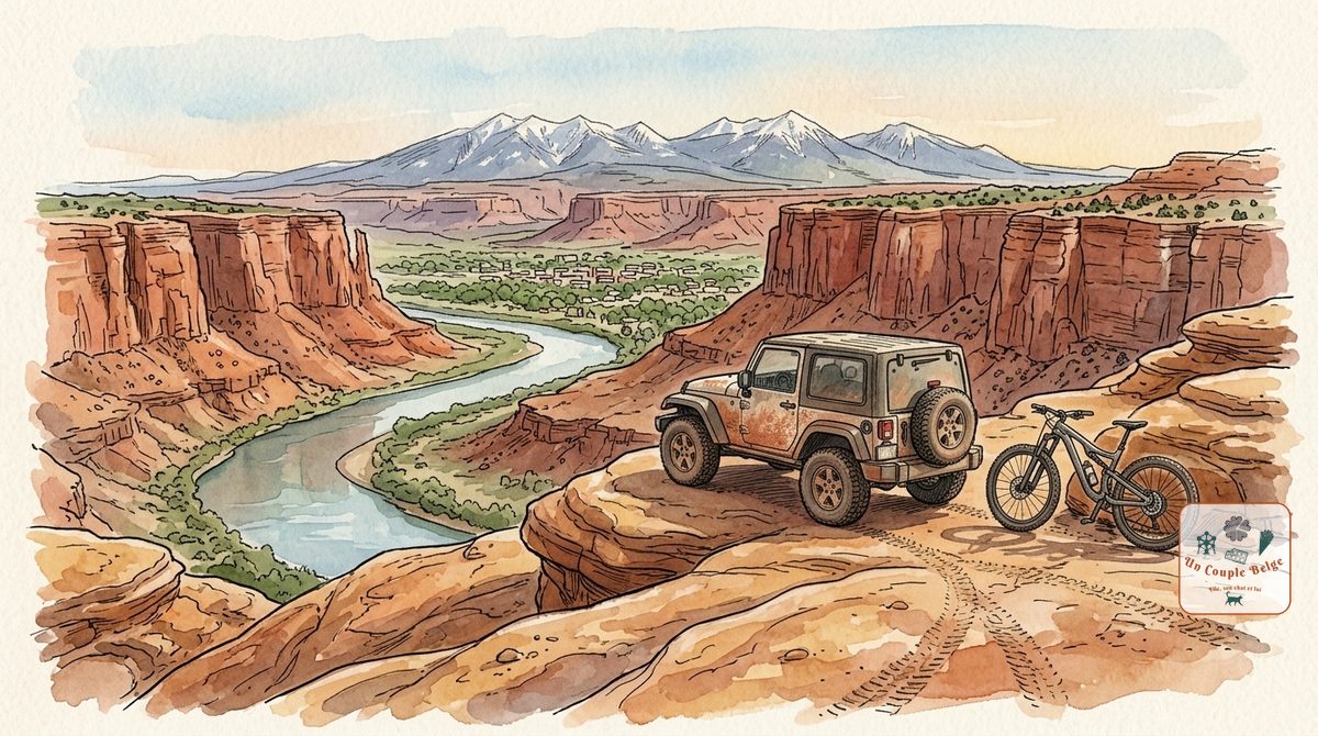
Moab has only a few thousand inhabitants. Yet it’s one of the names that comes up most often in road trips through the West. The reason lies in the map: Arches is ten minutes away, Canyonlands less than an hour, and the Colorado River flows at the end of the main street. All around are red cliffs, tracks and trails.
History and origins
People have lived here for thousands of years. They left carvings on the cliffs, still visible beside Potash Road. The town’s name, given by Mormon settlers in the 19th century, is said to come from the Bible.
For a long time Moab lived off ranching. Everything changed on 6 July 1952, when a penniless geologist, Charlie Steen, discovered an enormous uranium deposit. Within a few years the population went from 1,200 to 6,500, and Moab proclaimed itself the “uranium capital of the world”.
When the mines closed, tourism took over. First mountain biking, thanks to the Slickrock Trail, laid out in 1969 for motorbikes. Then 4x4 driving, climbing and rafting.
What to do there
- Arches: 8 km north of town, more than 2,000 stone arches. See our guide to Arches.
- Canyonlands: the Island in the Sky plateau looks down on the gorges of the Colorado and the Green River. See our guide to Canyonlands.
- Dead Horse Point: a viewpoint above a bend in the Colorado, 600 metres below. It’s a state park, on the road to Canyonlands, and one of the finest sunsets in the region.
- Highway 128: it follows the Colorado upstream between red cliffs, for about 70 km. It’s the most beautiful way to arrive in Moab or to leave it.
- Fisher Towers: towers of dark red sandstone, at the end of a short track off Highway 128. A trail winds around their base.
- Corona Arch: a large arch more than 40 metres wide, outside the parks and free. The trail starts from Potash Road, with a section fitted with cables and a small ladder.
- Potash Road: it follows the river at the foot of the cliffs. You can see rock carvings from the roadside, dinosaur tracks and climbers.
- Going down the Colorado: by raft, from gentle half-day floats to more athletic rapids.
- Mountain biking and 4x4: the Slickrock Trail, a loop of about 17 km over bare rock, is for good riders only. For 4x4, plenty of agencies rent vehicles or offer guided outings.
Stories and good to know
- “Slickrock” is a misnomer: the sandstone grips very well under tyres and soles. It’s only slippery when wet.
- High season isn’t summer. The busiest months are April, May, September and October.
- Neither Arches nor Canyonlands has a restaurant. Do your shopping in town before you set off.
Practical information for your road trip
- Getting there: Moab is about 4 hrs from Salt Lake City and a little under 3 hrs from Monument Valley. The Arches entrance is 10 minutes away, Island in the Sky about an hour.
- Arches: there’s no longer an entry reservation in 2026. When it’s very busy, rangers may close access for a while: arrive early.
- Dead Horse Point: $20 per car. It’s a state park, so the national parks pass isn’t accepted.
- Heat: in summer, walk early in the morning or late in the day, with at least 4 litres of water per person.
- Where to stay: in town, where nearly all the hotels are. Prices rise fast in spring and autumn.
- Combine it with: Arches and Canyonlands on the spot, then Monument Valley to the south or Capitol Reef to the west.
Our experience in Moab
We went there on our road trip 3, and we’ll be telling you all about it soon. Until then, if you’d like more details, feel free to write to us by message or on Instagram.
The day-by-day account will be available soon.
Quick quiz
Question 1 / 3
Expert
Moab: the base for Arches, Canyonlands and the Colorado River
Where to stay near Moab: the base for Arches, Canyonlands and the Colorado River
Stay22 affiliate links: if you book through here, we earn a small commission at no extra cost to you. Thanks for your support!
On the ground

Sponsored by UnCoupleBelge
Follow us on Instagram
Box sponsored by a partner
Other places nearby
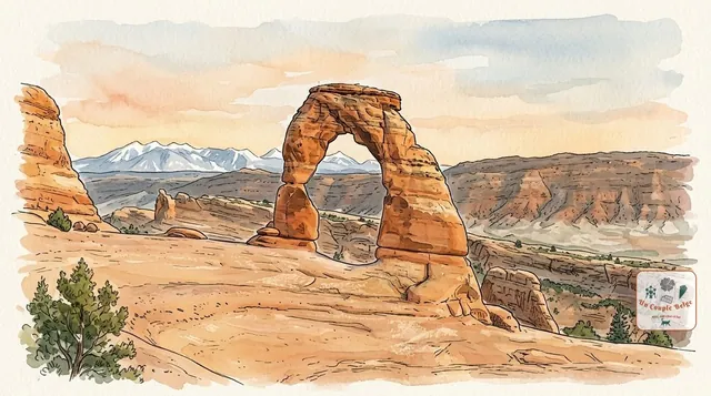
Arches: more than 2,000 sandstone arches under the open sky
The highest concentration of stone arches in the world, including Delicate Arch, the symbol of Utah. A compact park, ten minutes from Moab.
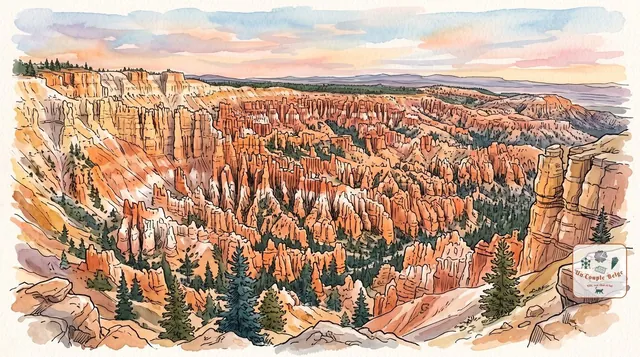
Bryce Canyon: an orange stone army at the edge of the plateau
Thousands of orange rock spires packed tightly together, which you look at from above before walking down among them.
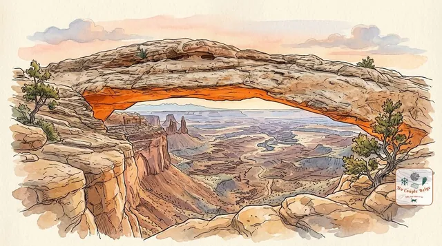
Canyonlands: canyons as far as the eye can see, viewed from above
Utah's largest national park: a maze of canyons carved by the Colorado and the Green River, which you look down on from the Island in the Sky plateau.
Comments