Bryce Canyon: an orange stone army at the edge of the plateau
Updated on
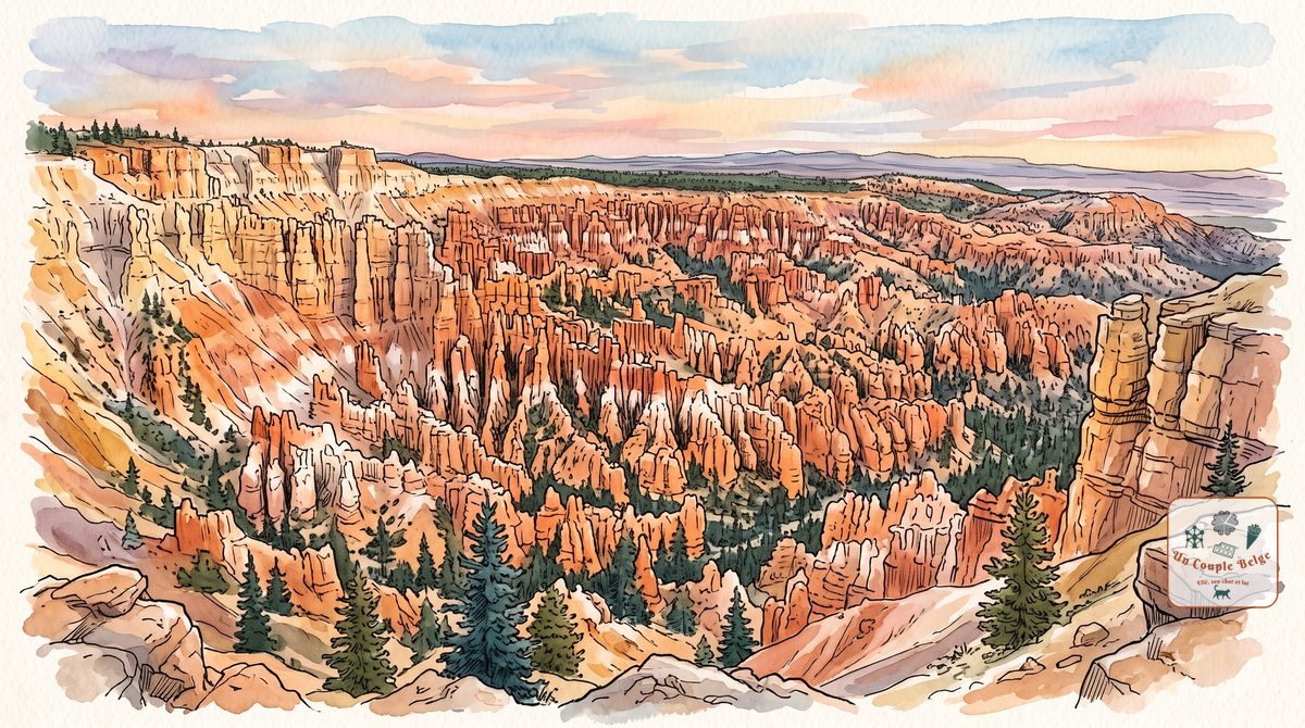
How long should you spend there?
At a glance
- Entrance fee
- $35 per vehicle for 7 days, plus $100 per person for non-residents aged 16 and over, unless you hold the annual pass.
- Best time to go
- May to September. The park stays open all winter, under snow and with almost no visitors.
- Book ahead
- None to enter. The lodge and the park campgrounds are booked a long way ahead.
- Getting around
- By car, or on the free shuttle that serves the amphitheatre viewpoints from early April to mid-October, every 15 minutes.
| Walks and hikes | Distance | Time | Level |
|---|---|---|---|
| Rim Trail, from Sunset Point to Sunrise Point | 1.6 km (round trip) | 30 min to 1 hr | easy |
| Bristlecone Loop, at Rainbow Point | 1.6 km (loop) | 30 min to 1 hr | easy |
| Navajo Loop, via Wall Street | 2.1 km (loop) | 1 to 2 hrs | moderate |
| Queen's Garden and Navajo Loop | 4.6 km (loop) | 2 to 3 hrs | moderate |
| Peekaboo Loop | 8.8 km (loop) | 3 to 4 hrs | strenuous |
| Fairyland Loop | 12.9 km (loop) | 4 to 5 hrs | strenuous |
Bryce Canyon is like no other park in the West. At the edge of a plateau more than 2,400 metres up, thousands of orange, pink and white rock spires stand packed together like a stone army. You look at them from above at the viewpoints, then walk down among them. The park is small and can be seen well in a day.
History and origins
Despite its name, Bryce Canyon is not a canyon: no river carved it. It is the edge of the Paunsaugunt Plateau crumbling away and forming a series of amphitheatres. The spires are called hoodoos, and there are more of them here than anywhere else in the world. It is frost that sculpts them: water seeps into the rock, freezes at night, thaws by day, and eventually splits it apart.
For the Paiute, who lived here long before the settlers, the hoodoos are the “Legend People”, beings turned to stone by the god Coyote to punish them for their bad behaviour. When you see those almost human shapes, you understand the legend.
The park is named after Ebenezer Bryce, a Mormon settler who came here in 1875 to raise cattle. He is credited with this remark about the place: “a hell of a place to lose a cow”. The site became a national monument in 1923, then a national park in 1928.
What to do there
- The road to Rainbow Point
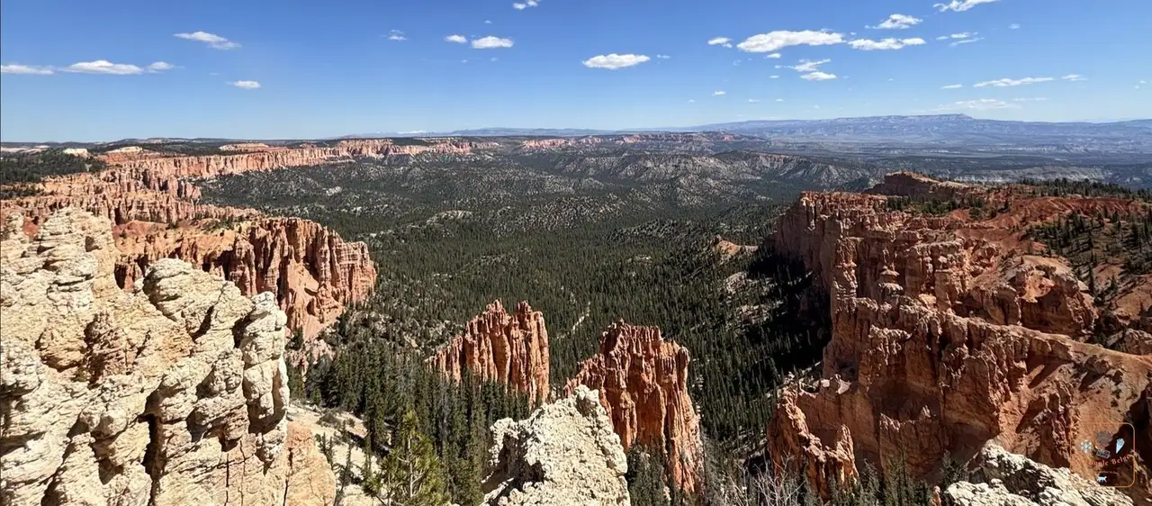 The pink cliffs of Bryce Canyon from Rainbow Point: a 29 km road runs through the park to its highest point, at 2,778 metres. Drive all the way to the end first, then stop at the viewpoints on the way back: they are all on the right, with no need to cross the road.
 - The Natural Bridge
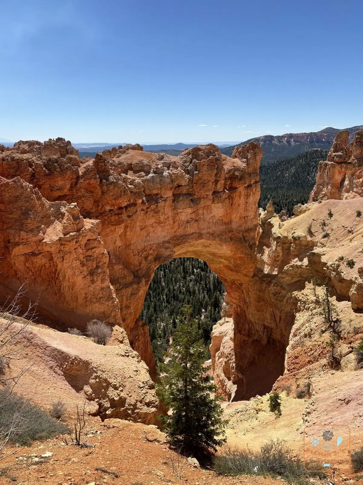 The arch of the Natural Bridge in Bryce Canyon: a large arch of orange rock, visible from the roadside. Despite its name, it was carved by frost, not by a river.
 - The four amphitheatre viewpoints
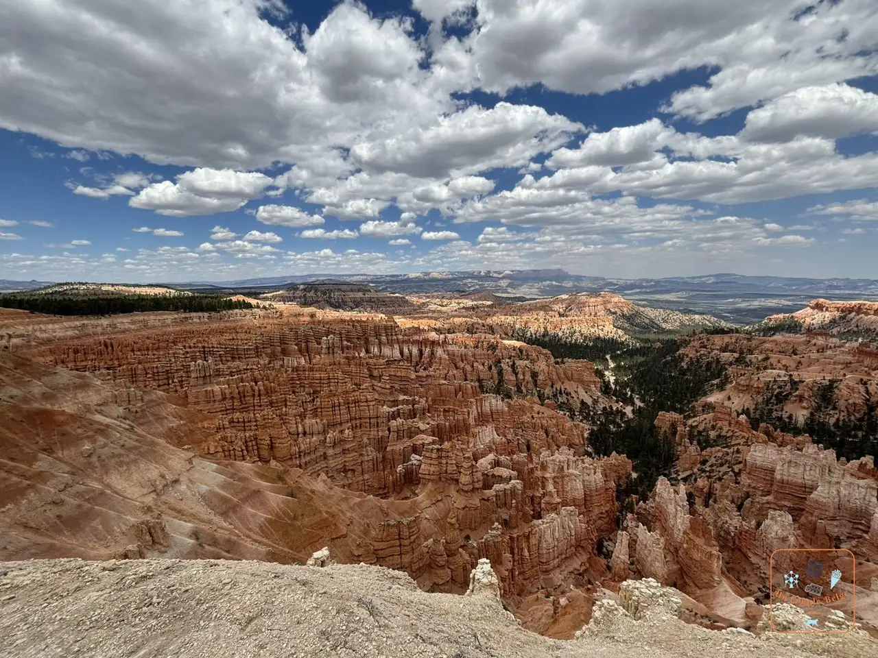 Bryce Amphitheater under a cloudy sky: Bryce Point, Inspiration Point, Sunset Point and Sunrise Point look out over the park’s largest amphitheatre. This is the postcard view.
 - The Rim Trail: the trail that follows the edge of the plateau and links the viewpoints. The section between Sunset Point and Sunrise Point is flat and paved.
- The Navajo Loop and Wall Street
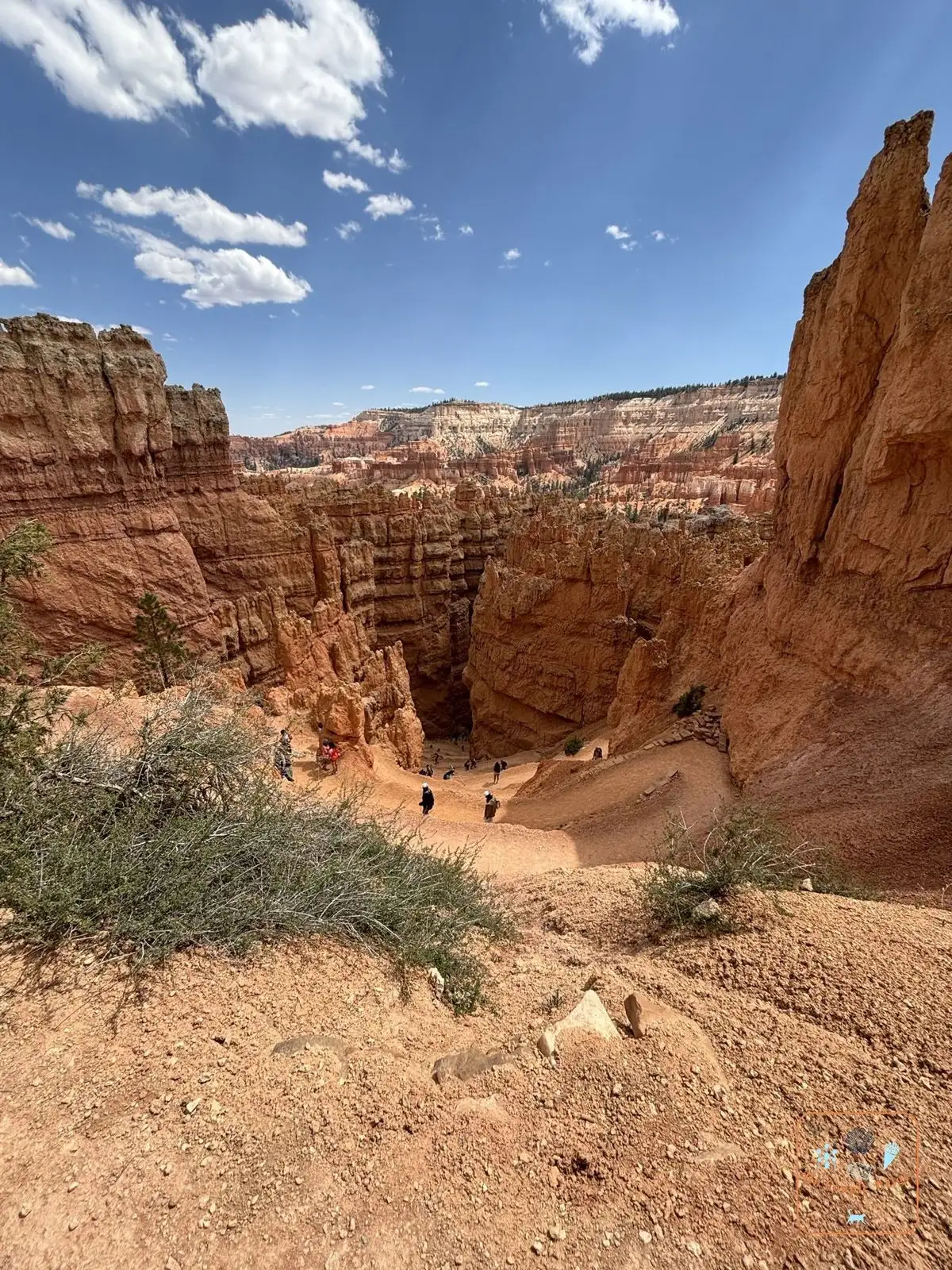 The switchback trail of Wall Street between the orange walls: from Sunset Point, a series of very tight switchbacks plunges between two walls of orange rock. At the bottom of the corridor, tall Douglas firs grow straight up towards the light
 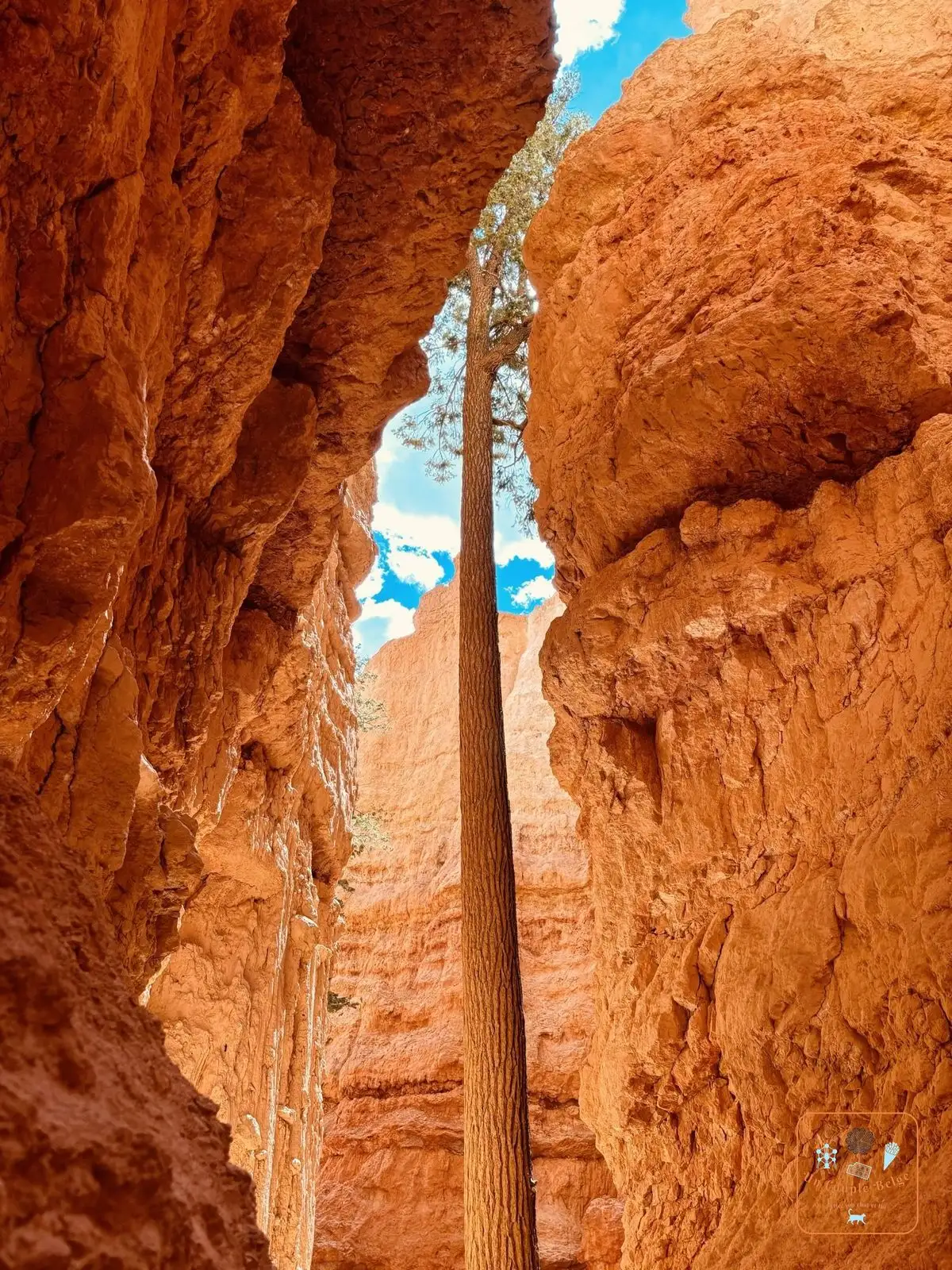 A Douglas fir between the walls of Wall Street. The climb back up is steep.
 - Queen’s Garden: the gentlest trail down among the hoodoos, starting from Sunrise Point. Combined with the Navajo Loop, it makes the most popular loop in the park. It’s the one we did: down through Wall Street, back up through Queen’s Garden.
- Sunrise and sunset
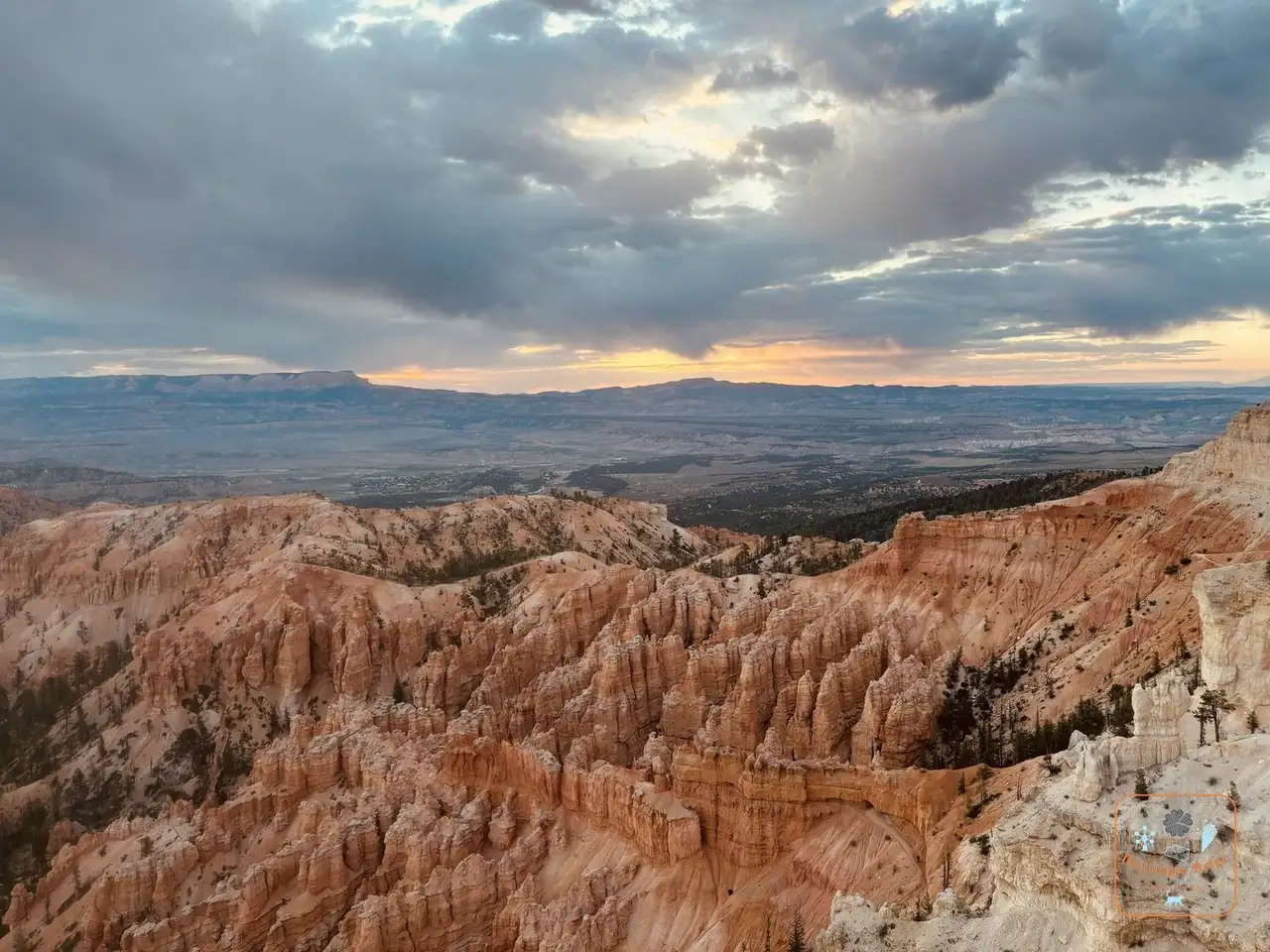 Sunrise over Bryce Amphitheater: the amphitheatre faces east. In the morning the light slides across the hoodoos. In the evening they shift from orange to pink and then purple
 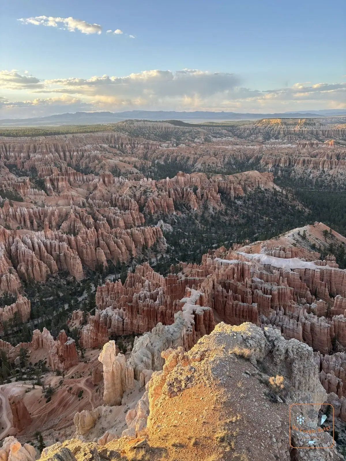 Golden evening light on the hoodoos.
 - The Bristlecone Loop: at Rainbow Point, a short forest loop among bristlecone pines, some of them more than 1,600 years old.
- Fairyland Loop and Peekaboo Loop: two longer and far less busy hikes, for half a day among the hoodoos.
- The stars: with the altitude and the absence of light, the sky is very dark. The park holds an astronomy festival every year.
Stories and good to know
- The park has a dozen amphitheatres along the plateau. The one on the postcards, Bryce Amphitheater, is simply the largest.
- The hoodoos are not eternal. The edge of the plateau retreats by 60 cm to 1.30 m a century. In 2016, a well-known hoodoo, the Sentinel, collapsed.
- It is much cooler here than at Zion or Monument Valley. Even in May, we got our jackets out in the morning and evening.
- You often come across mule deer among the pines, early in the morning and late in the day
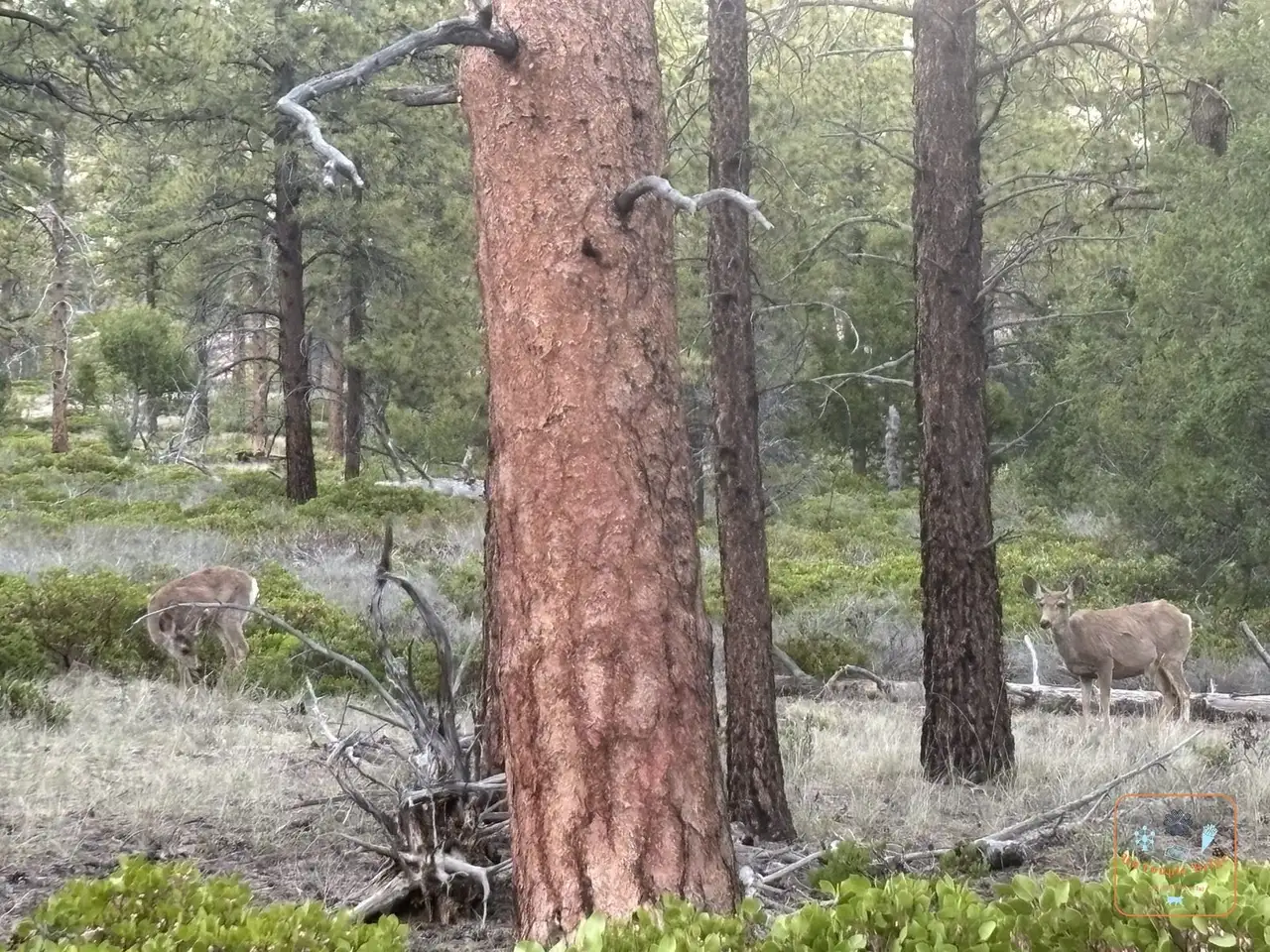 Two mule deer in the pine forest near Bryce.
 - In winter, snow on the orange hoodoos is one of the park’s most beautiful sights, and there is almost nobody there.
Practical information for your road trip
- Pass: we entered with our America the Beautiful pass. At the current price, it pays for itself with this park alone: it’s all explained in our guide to the national parks pass.
- Getting there: Bryce Canyon is about 1 hour 30 to 2 hours from Zion, 2 hours 15 from Capitol Reef by the direct road and 4 hours from Las Vegas.
- Altitude: at more than 2,400 metres, you get out of breath quickly on the climbs. Take water, take your time, and bring something warm.
- Where to stay: the park lodge is booked a long way ahead. Bryce Canyon City is at the entrance, Tropic 15 to 20 minutes away and Panguitch, where we stayed, half an hour away.
- Combine it with: Zion straight afterwards, as we did, or Capitol Reef by Scenic Byway 12.
Our experience in Bryce Canyon
It was one of the parks we were most looking forward to, and we spent a full day and then a sunrise there in May 2024, during our road trip 1.
Our day-by-day journals are coming soon.
Quick quiz
Question 1 / 3
Where to stay near Bryce Canyon: an orange stone army at the edge of the plateau
Stay22 affiliate links: if you book through here, we earn a small commission at no extra cost to you. Thanks for your support!
On the ground

Sponsored by UnCoupleBelge
Follow us on Instagram
Box sponsored by a partner
Other places nearby
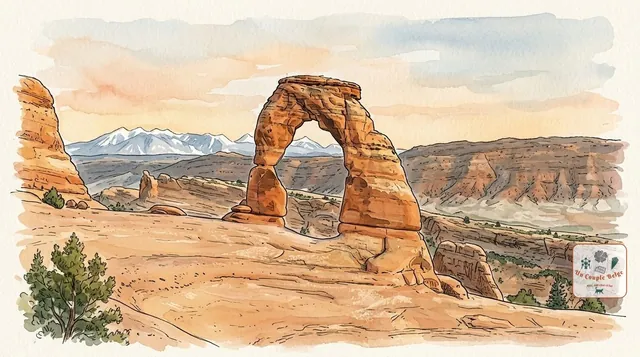
Arches: more than 2,000 sandstone arches under the open sky
The highest concentration of stone arches in the world, including Delicate Arch, the symbol of Utah. A compact park, ten minutes from Moab.
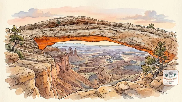
Canyonlands: canyons as far as the eye can see, viewed from above
Utah's largest national park: a maze of canyons carved by the Colorado and the Green River, which you look down on from the Island in the Sky plateau.
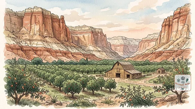
Capitol Reef: Utah's quietest national park
Red, grey and white cliffs along a 160 km fold of rock, pioneer orchards in the middle of the desert, and far fewer people than at Zion or Arches.
Comments