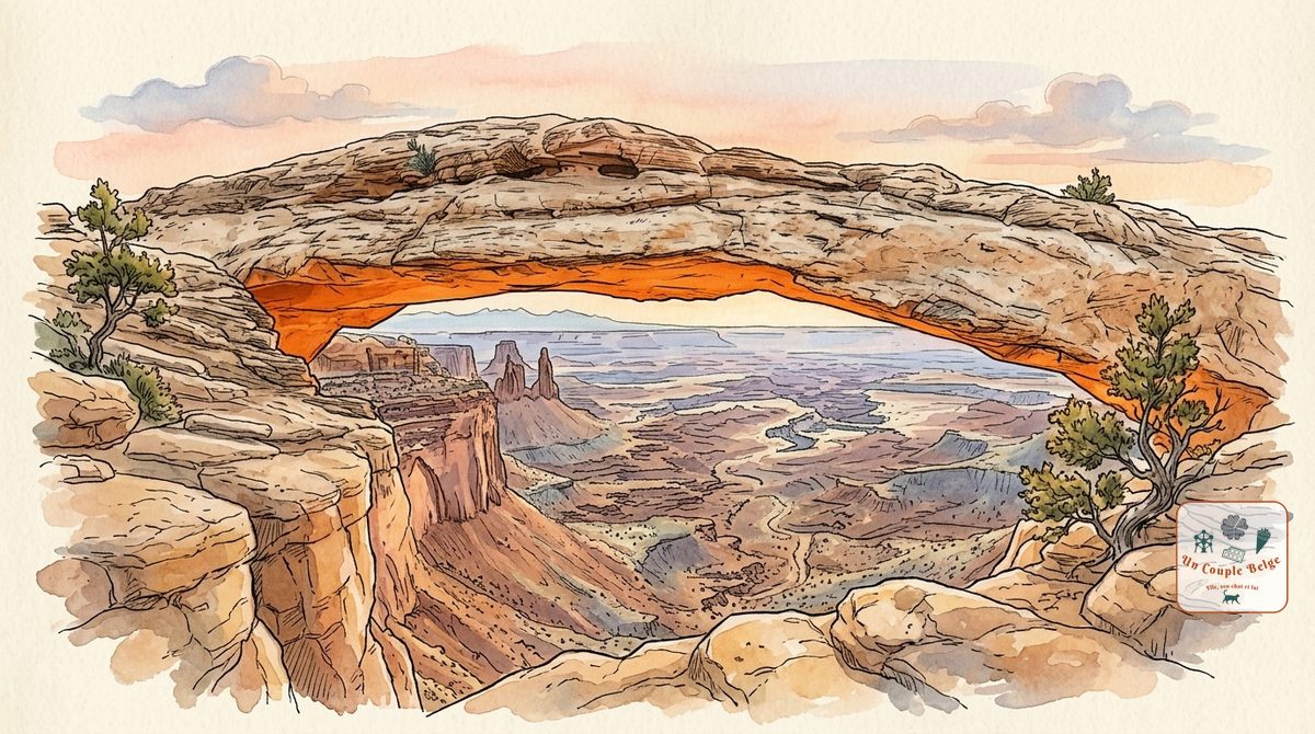
Canyonlands: canyons as far as the eye can see, viewed from above
Updated on
How long should you spend there?
At a glance
- Entrance fee
- $30 per vehicle for 7 days, with no surcharge for non-residents. Card payment only.
- Best time to go
- From March to May and from September to November. Summer is very hot, and it can snow in winter.
- Book ahead
- None to enter. You need a permit to drive the White Rim Road and to sleep in the backcountry.
- Getting around
- By car. Each district has its own access road, with no link between them, and there is no fuel or food in the park.
| Walks and hikes | Distance | Time | Level |
|---|---|---|---|
| Mesa Arch | about 1 km (loop) | 30 min | easy |
| Upheaval Dome, first overlook | 1 km (round trip) | 30 to 45 min | moderate |
| Whale Rock | 1.3 km (round trip) | 1 hr | moderate |
| Grand View Point | 2.9 km (round trip) | 1 hr 30 | easy |
| Pothole Point (The Needles) | 1 km (loop) | 45 min | easy |
| Chesler Park (The Needles) | 17.2 km (loop) | 5 to 7 hrs | strenuous |
Canyonlands is the discreet neighbour of Arches. It’s four times bigger, far wilder, and gets half as many visitors. Here the Colorado and the Green River meet at the bottom of a maze of canyons. You mostly look at it from above, from a plateau perched 600 metres above the rivers.
History and origins
Two rivers made this landscape. The Colorado and the Green River cut into the plateau over millions of years, on several levels: mesas at the top, a broad terrace of white rock halfway down, then the gorges at the very bottom.
The park was created in 1964, under President Lyndon Johnson. It’s divided into four districts, with no road linking them:
- Island in the Sky: the northern plateau, the most accessible and the most visited.
- The Needles: to the south-east, sandstone spires striped orange and white. This is the hikers’ district.
- The Maze: to the west, one of the most remote places in the United States, reserved for those used to 4x4 driving and complete self-sufficiency.
- The rivers: you travel down them by raft or canoe.
What to do there
- Mesa Arch: a low arch set on the edge of the void, framing the canyons. At sunrise, the underside of the arch turns bright orange. It’s where the photographers gather, and the walk only takes a few minutes.
- Grand View Point: the end of the road, and the widest view in the park. An easy trail follows the edge of the plateau.
- Green River Overlook: a viewpoint over the meanders of the Green River and the white terrace of the White Rim. Very beautiful at the end of the day.
- Upheaval Dome: a crater 5 km wide, with contorted rocks. Geologists long hesitated between a salt dome and a meteorite. The second explanation is the one that prevails today.
- Shafer Canyon Overlook: from here you see the Shafer Trail, a track of hairpin bends tumbling down the cliff.
- The Needles: 1 hr 30 from Moab, by a different road. The trails wind between the sandstone spires to the meadow of Chesler Park. On the access road, Newspaper Rock is a rock face covered with hundreds of ancient carvings.
- The White Rim Road: a 160 km track that circles Island in the Sky, halfway down. It’s driven by 4x4 or ridden by mountain bike, in two to four days.
- Horseshoe Canyon: a separate enclave, at the end of 48 km of track, which holds one of the finest rock art panels in North America.
Stories and good to know
- At 1,366 km², it’s the largest national park in Utah. Yet it gets half as many visitors as Arches.
- The Island in the Sky plateau is attached to the rest of the world only by a strip of land 12 metres wide, called The Neck.
- In the Maze district, rescuers can take several days to arrive.
- The park has no restaurant, no food shop and no petrol station, in any district.
Practical information for your road trip
- Pass: the America the Beautiful pass covers the entrance fee. Everything is explained in our guide to the national parks pass.
- Getting there: Island in the Sky is about 45 minutes from Moab. The Needles is 120 km from Moab, or 1 hr 30.
- Water and fuel: fill up in Moab and bring water and a picnic. There’s water at the Island in the Sky visitor center, but not beyond.
- Heat: in summer, visit early in the morning. There’s almost no shade on the plateau.
- Where to stay: in Moab. The park has only small first-come, first-served campgrounds at Island in the Sky.
- Combine it with: Dead Horse Point, a state park on the same road, and Arches. All three can be done from Moab.
Our experience in Canyonlands
We went there on our road trip 3, and we’ll be telling you all about it soon. Until then, if you’d like more details, feel free to write to us by message or on Instagram.
The day-by-day account will be available soon.
Quick quiz
Question 1 / 3
Where to stay near Canyonlands: canyons as far as the eye can see, viewed from above
Stay22 affiliate links: if you book through here, we earn a small commission at no extra cost to you. Thanks for your support!
On the ground

Sponsored by UnCoupleBelge
Follow us on Instagram
Box sponsored by a partner
Other places nearby
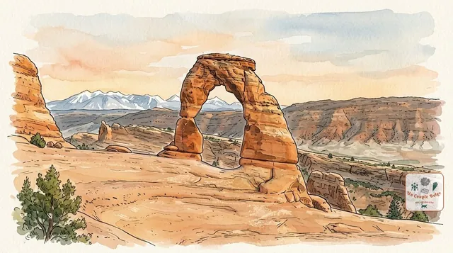
Arches: more than 2,000 sandstone arches under the open sky
The highest concentration of stone arches in the world, including Delicate Arch, the symbol of Utah. A compact park, ten minutes from Moab.
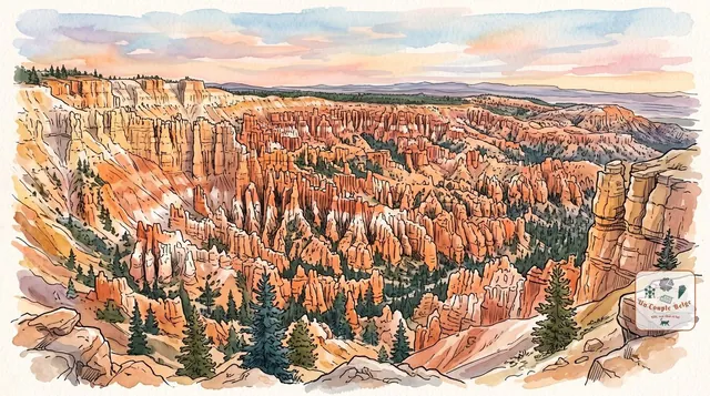
Bryce Canyon: an orange stone army at the edge of the plateau
Thousands of orange rock spires packed tightly together, which you look at from above before walking down among them.
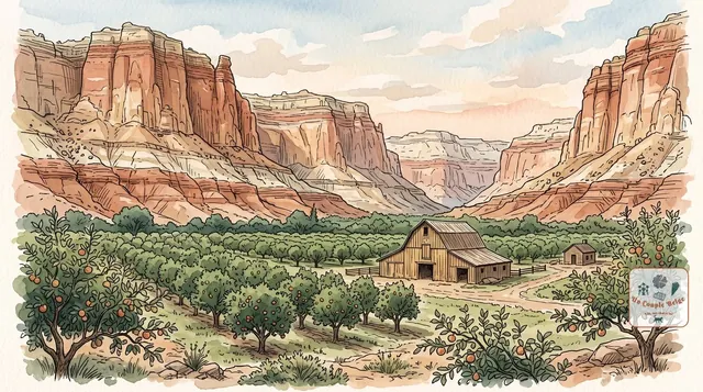
Capitol Reef: Utah's quietest national park
Red, grey and white cliffs along a 160 km fold of rock, pioneer orchards in the middle of the desert, and far fewer people than at Zion or Arches.
Comments