Zion: on the canyon floor, between the Narrows and Angels Landing
Updated on
How long should you spend there?
At a glance
- Entrance fee
- $35 per vehicle for 7 days, plus $100 per person for non-residents aged 16 and over, unless you hold the annual pass.
- Best time to go
- Spring and autumn. Summer is hot and very busy, with storms from July to September.
- Book ahead
- The Angels Landing permit, by lottery. The shuttle, on the other hand, needs no reservation.
- Getting around
- By free shuttle in the canyon, from March to the end of November: the road is closed to cars during that period.
| Walks and hikes | Distance | Time | Level |
|---|---|---|---|
| Riverside Walk, to the entrance of the Narrows | 3.5 km (round trip) | 1 hr 30 | easy |
| Lower Emerald Pool | 1.9 km (round trip) | 1 hr | easy |
| Weeping Rock | 0.6 km (round trip) | 30 min | easy |
| Canyon Overlook | 1.6 km (round trip) | 1 hr | moderate |
| Pa'rus Trail | 5.6 km (round trip) | 2 hrs | easy |
| Scout Lookout | 6.8 km (round trip) | 3 hrs | strenuous |
| Angels Landing (with a permit) | 8.7 km (round trip) | 4 hrs | strenuous |
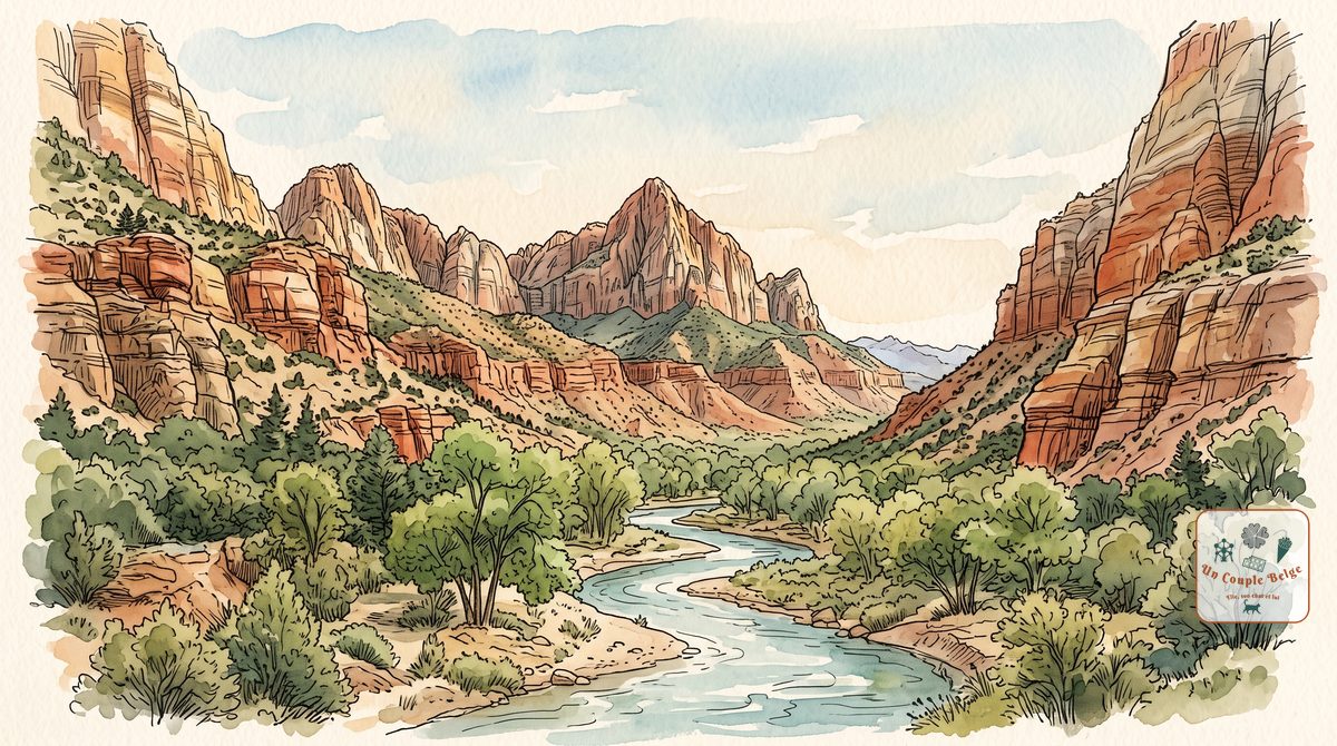
At Zion you don’t look at the landscape from above: you are in it. The park is a narrow canyon, carved by a small river, the Virgin River, between red and white sandstone cliffs more than 600 metres high. You travel through it by shuttle, then on foot, and its two best-known hikes are like no others: one climbs a ridge above the void, the other is walked in the riverbed.
History and origins
The Virgin River took millions of years to carve the canyon, and it is still at it. The cliffs are Navajo Sandstone: ancient sand dunes, formed nearly 200 million years ago in a desert as large as the Sahara, then turned to stone.
Before the settlers arrived, the Paiute lived here and farmed the valley floor. Mormon settlers moved in from 1858. They found the place so beautiful that they called it “Zion”, after the promised land in the Bible.
The site was protected as early as 1909, under the name Mukuntuweap, then became a national park in 1919. Today it is one of the most visited parks in the United States, with nearly 5 million visitors a year.
What to do there
- The canyon road by shuttle
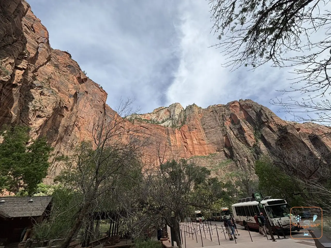 A Zion shuttle stop at the foot of the cliffs: from March to the end of November, Zion Canyon Scenic Drive is closed to cars. A free shuttle, with no reservation, serves all the trailheads.
 - Scout Lookout and Angels Landing
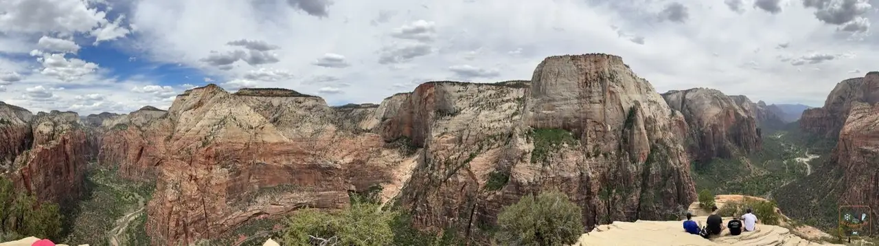 Zion Canyon from Scout Lookout: the trail starts at The Grotto stop and switchbacks up to Scout Lookout, a rocky shelf with a superb view of the canyon. Beyond that, the last 800 metres to Angels Landing follow a very narrow ridge
 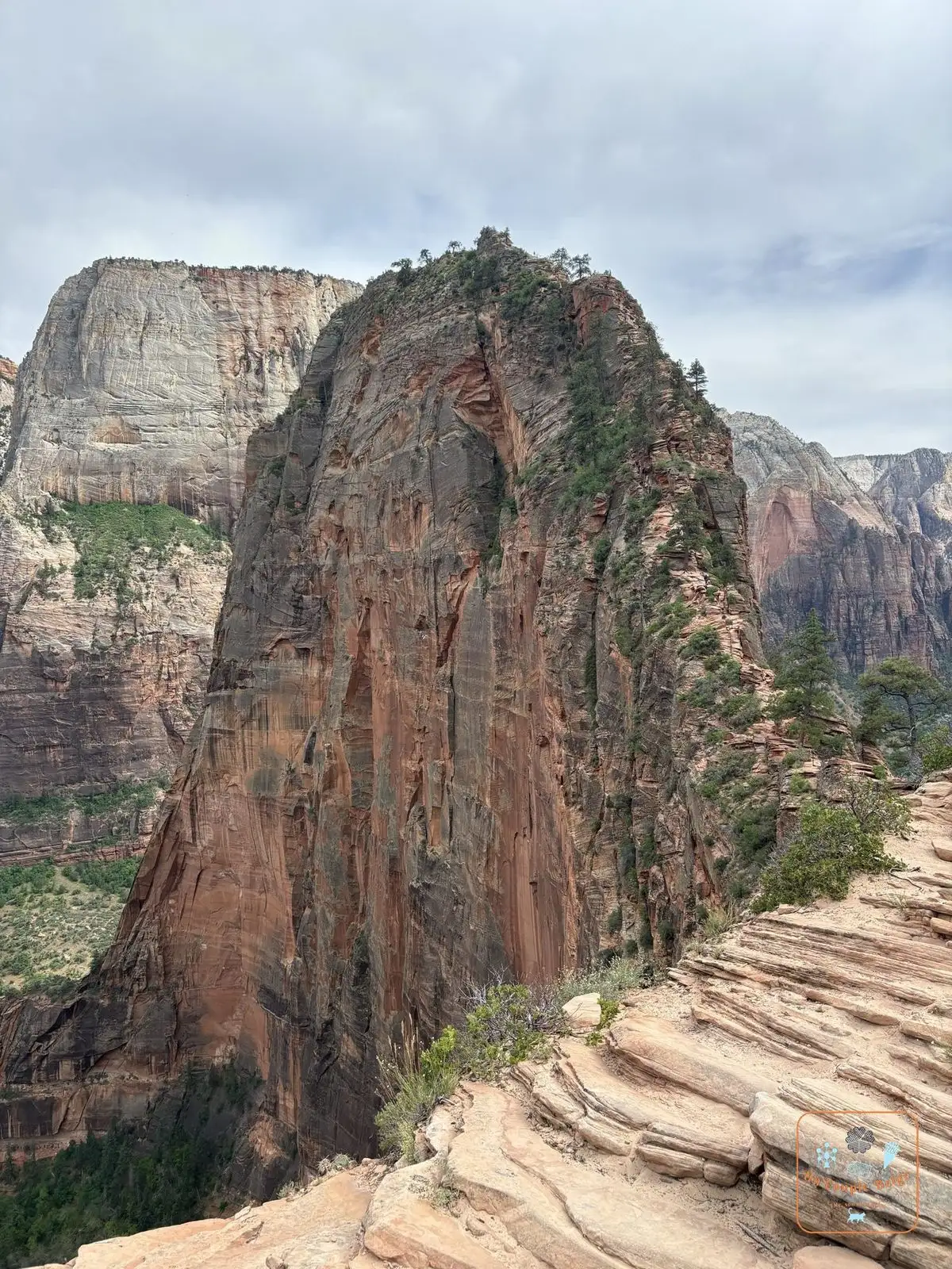 The ridge of Angels Landing seen from Scout Lookout, with chains to hold on to and a drop on both sides. This last part requires a permit. We did it all the way to the top: it’s impressive, but the chains are solid and the view is worth it.
 - The Narrows
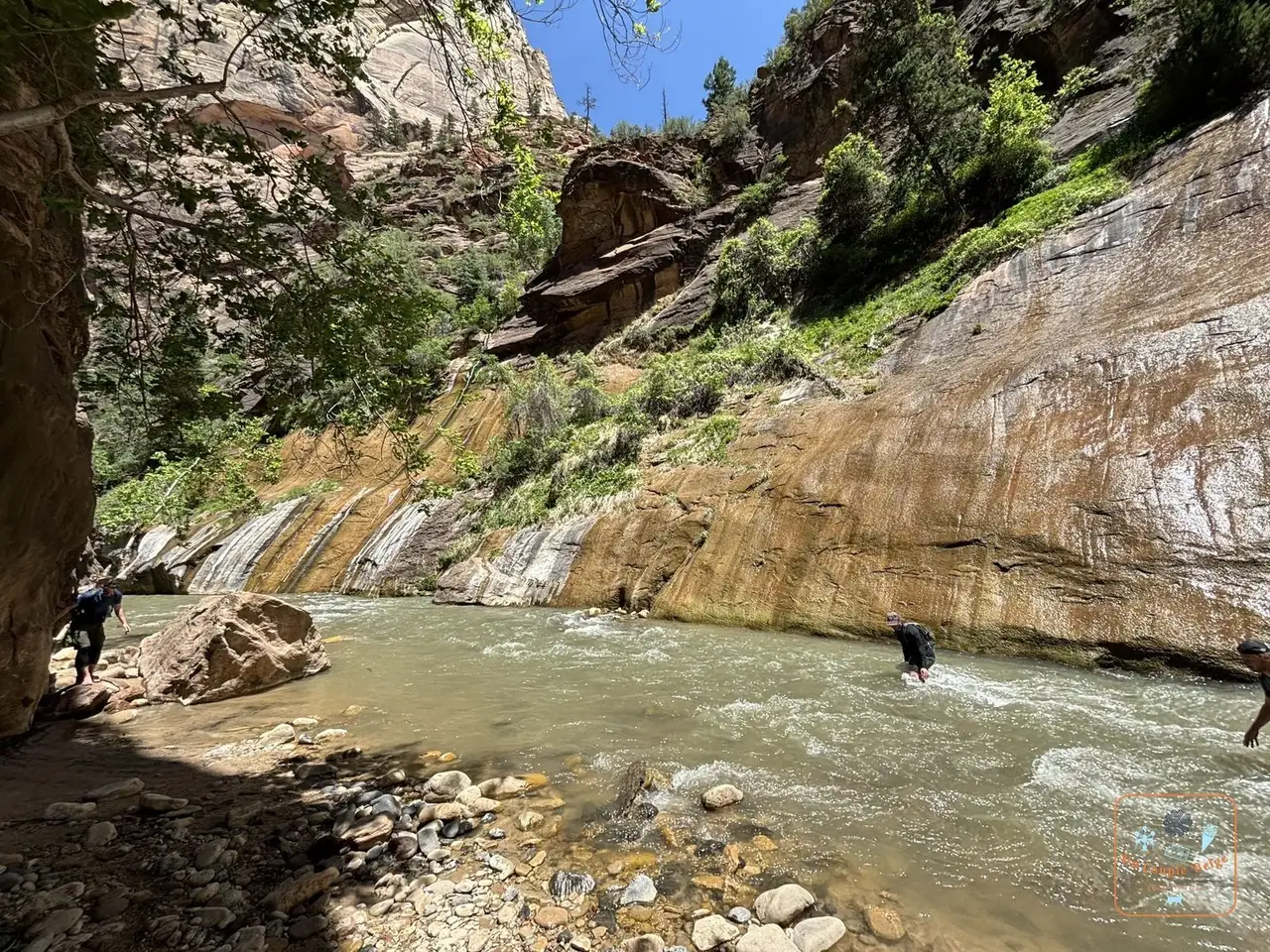 Hikers crossing the Virgin River in the Narrows: at the end of the road, the trail stops and the river becomes the path. You walk in the water, between walls several hundred metres high. You can hike up the river for the day without a permit, as far as you like. We walked it in our water shoes, with our poles.
 - The Riverside Walk: a flat, paved 1.6 km path along the river, to the entrance of the Narrows. Anyone can do it.
- The Emerald Pools
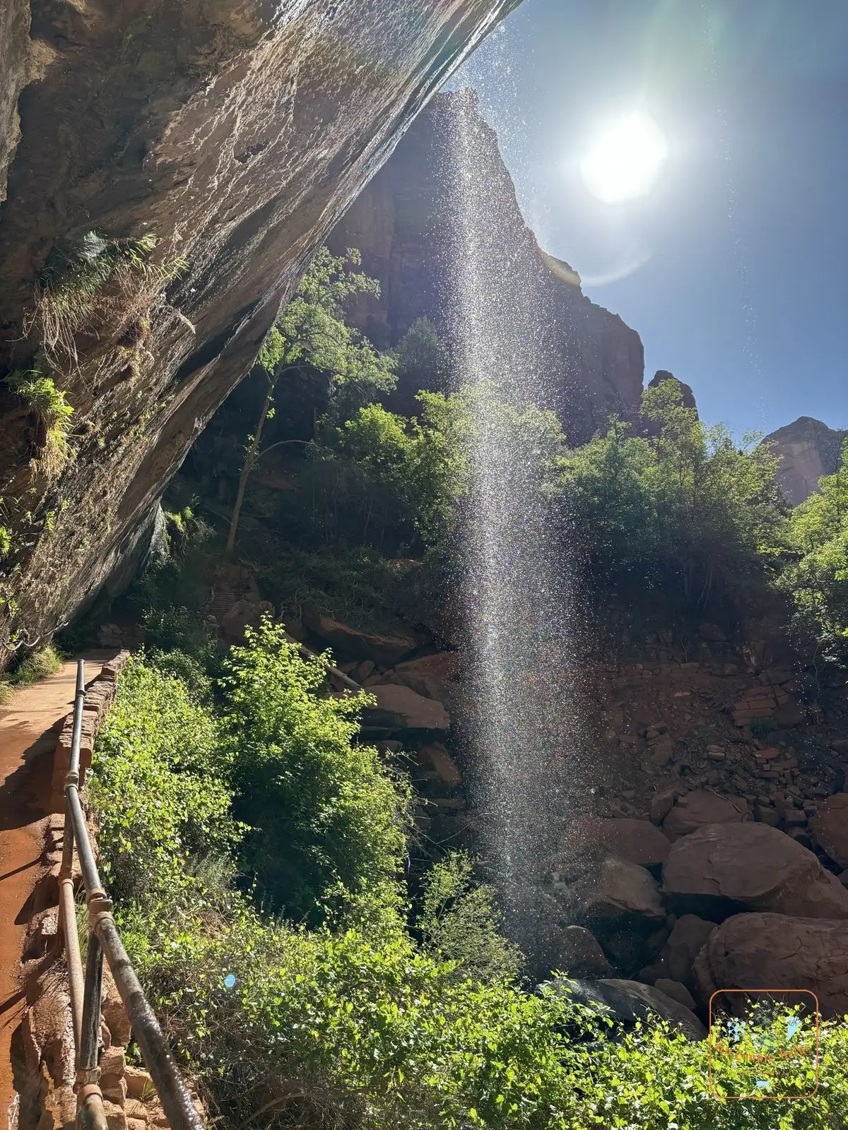 The waterfall under the rock overhang at Lower Emerald Pool: three small pools at the foot of the cliffs, opposite Zion Lodge. The trail passes under an overhang from which a thin waterfall drops.
 - The Zion-Mount Carmel Highway
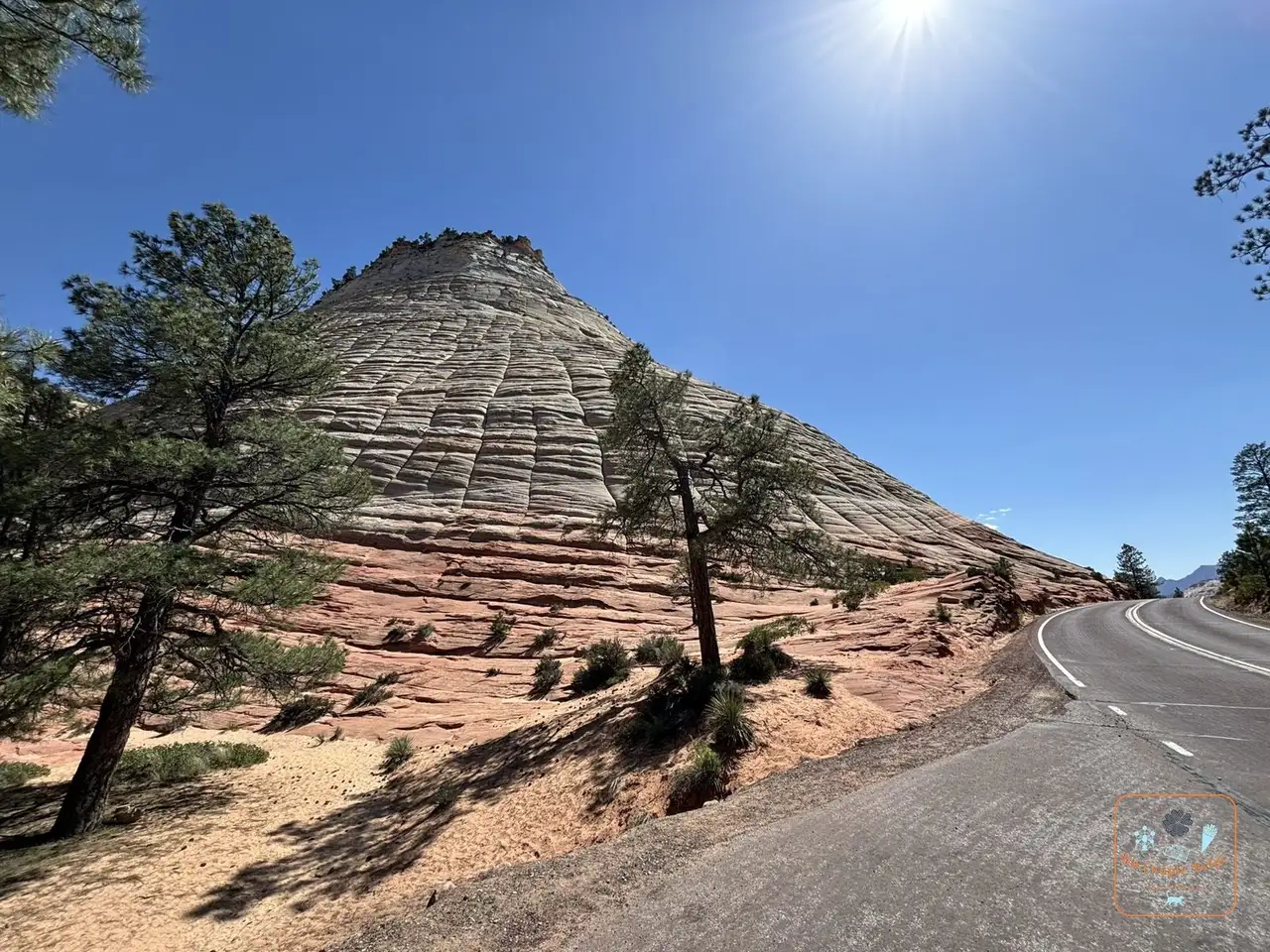 Checkerboard Mesa and its natural grid pattern: it switchbacks up towards the east of the park, goes through a 1.8 km tunnel dug in the 1920s, then comes out among hills of white sandstone. The best known, Checkerboard Mesa, is cross-hatched like a chessboard.
 - Canyon Overlook: just after the tunnel, a short hike leads to a viewpoint over the canyon. It’s the best view in the park for the least effort.
- Weeping Rock: a very short trail to an overhanging wall where water seeps out drop by drop, with hanging gardens of ferns. It reopened in 2025 after two years of closure.
- The Watchman and the Pa’rus Trail: two walks from the visitor centre, with no shuttle needed. The Watchman
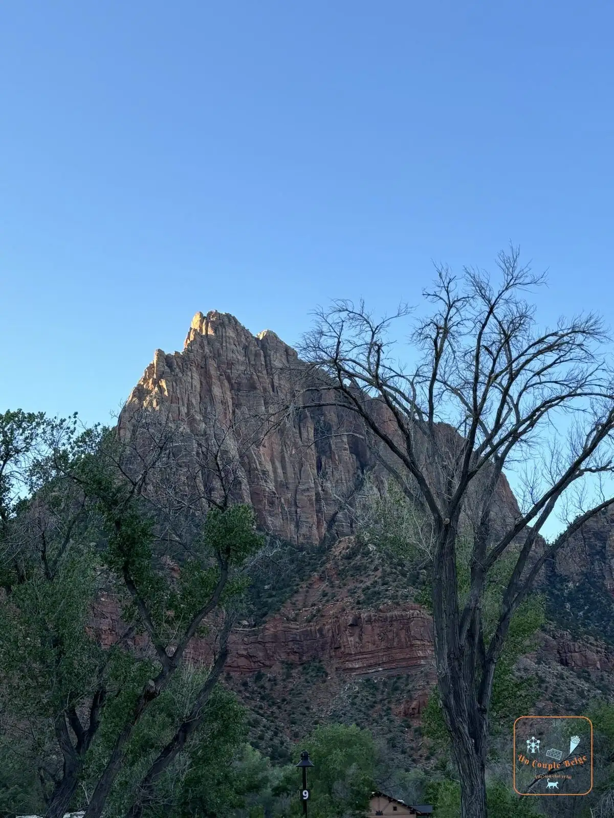 The summit of the Watchman in the morning sun is the mountain that towers over the park entrance.
 - Kolob Canyons: a separate section, to the north-west, 45 minutes to an hour’s drive away, with red sandstone canyons and very few people.
Stories and good to know
- The Narrows close as soon as the river’s flow passes a certain threshold, and at every flash flood warning. A storm far upstream can turn the river into a torrent in a few minutes, even under a blue sky. In spring, snowmelt often closes them for weeks.
- We found that out for ourselves in May. On the first day the Narrows were closed: too early in the season, the water was still high. The next day we put our water shoes and poles in the boot all the same, just in case. We were right to: they reopened that very day.
- On the Scout Lookout trail, the 21 very tight hairpin bends are called Walter’s Wiggles. They date from the 1920s.
- The Zion-Mount Carmel Tunnel has “windows” opening out of the cliff. As you come out, you see the Great Arch, a huge arch carved into the wall.
- Wild turkeys wander along the canyon floor. One of them came to inspect our picnic.
Practical information for your road trip
- Pass: we entered with our America the Beautiful pass. At the current price, it pays for itself with this park alone: it’s all explained in our guide to the national parks pass.
- Getting there: Zion is about 1 hour 30 to 2 hours from Bryce Canyon and 2 hours 30 from Las Vegas.
- Parking: the visitor centre car park is full early in the morning in season. Springdale has paid car parks and its own free shuttle to the park entrance.
- Large vehicles: since June 2026, vehicles more than 2.40 m wide, 3.45 m high or 10.90 m long have been banned from the whole Zion-Mount Carmel Highway, tunnel included. Check the dimensions of your motorhome before planning this road.
- Gear for the Narrows: closed shoes with good grip and a walking stick. The shops in Springdale rent out shoes, sticks and dry suits.
- Where to stay: in Springdale, at the park entrance. Zion Lodge is the only hotel inside the canyon.
- Combine it with: Bryce Canyon beforehand, then Valley of Fire on the way to Las Vegas, as we did.
Our experience in Zion
We spent a day and a half there in May 2024, during our road trip 1, arriving from Bryce Canyon.
Our day-by-day journals are coming soon.
Quick quiz
Question 1 / 3
Where to stay near Zion: on the canyon floor, between the Narrows and Angels Landing
Stay22 affiliate links: if you book through here, we earn a small commission at no extra cost to you. Thanks for your support!
On the ground

Sponsored by UnCoupleBelge
Follow us on Instagram
Box sponsored by a partner
Other places nearby
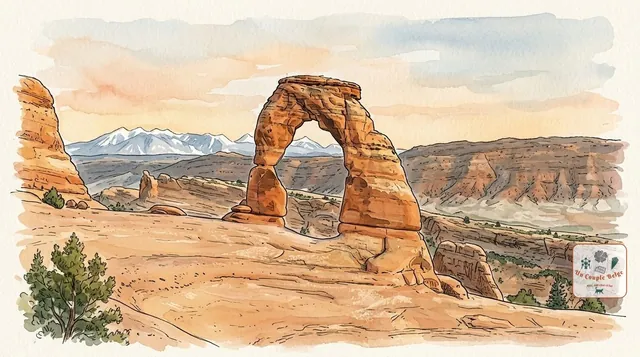
Arches: more than 2,000 sandstone arches under the open sky
The highest concentration of stone arches in the world, including Delicate Arch, the symbol of Utah. A compact park, ten minutes from Moab.
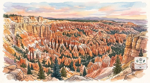
Bryce Canyon: an orange stone army at the edge of the plateau
Thousands of orange rock spires packed tightly together, which you look at from above before walking down among them.
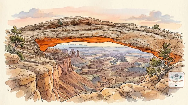
Canyonlands: canyons as far as the eye can see, viewed from above
Utah's largest national park: a maze of canyons carved by the Colorado and the Green River, which you look down on from the Island in the Sky plateau.
Comments