Big Sur: 145 km of cliffs between the mountains and the Pacific
Updated on
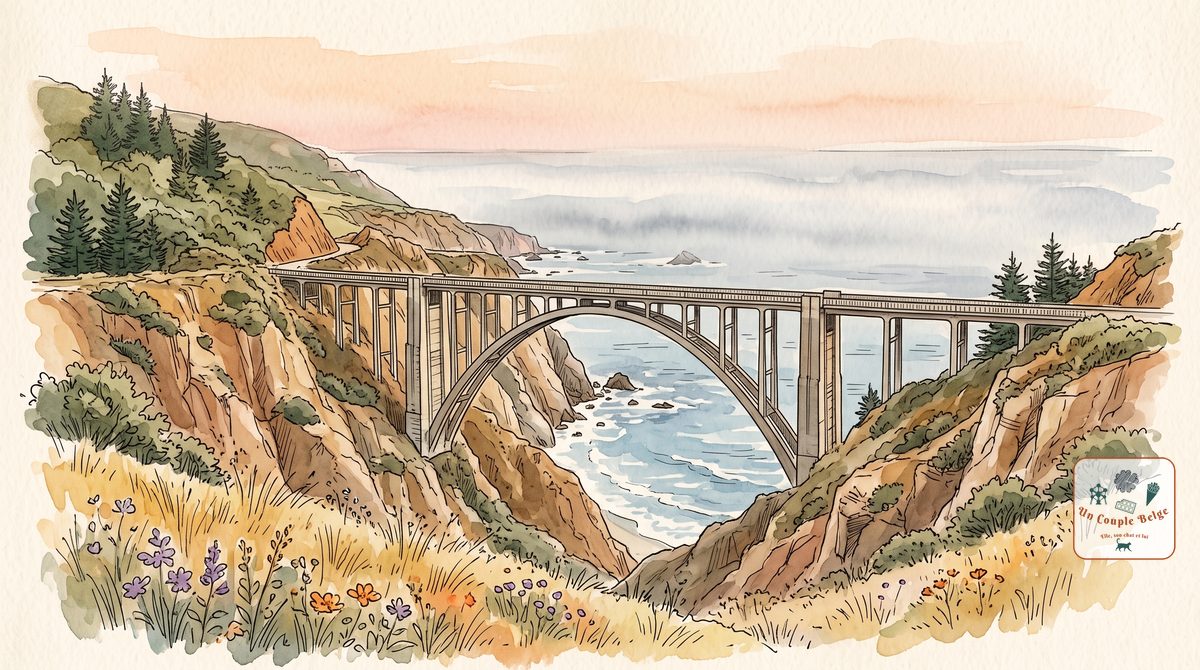
How long should you spend there?
At a glance
- Entrance fee
- The road and most of the viewpoints are free. Allow $10 per car in the state parks and $15 at Pfeiffer Beach.
- Best time to go
- September and October for clear skies. Spring for green hills, with fog in the morning.
- Book ahead
- Accommodation, which is scarce and expensive, several months ahead. Nothing else needs booking.
- Getting around
- By car only, with a full tank. Check that the road is open before you set off.
| Walks and hikes | Distance | Time | Level |
|---|---|---|---|
| McWay Falls viewpoint | 0.8 km (round trip) | 20 min | easy |
| Partington Cove | 1.6 km (round trip) | 45 min | moderate |
| Pfeiffer Falls | 2.4 km (round trip) | 1 hr | moderate |
| Soberanes Point, at Garrapata | 3.2 km (loop) | 1 hr | easy |
| Molera Point, at Andrew Molera | 3.2 km (round trip) | 1 hr | easy |
Big Sur is neither a town nor a park. It’s a piece of coast about 145 km long, between Carmel and San Simeon, where the mountains drop straight into the Pacific. Highway One clings to the cliff here, with no village worthy of the name and very few houses. You come to drive slowly and stop often.
History and origins
The name comes from the Spanish settlers of Monterey. To them, this roadless coast was el país grande del sur, the big country to the south. Yet the Esselen had been living there for thousands of years.
Until the 1930s it could only be reached by tracks. The road took eighteen years to build, partly with convict labour, and was only opened in 1937.
That isolation attracted artists. The writer Henry Miller lived here from 1944 to 1962. Jack Kerouac wrote a dark novel here, which bears the name of the place. In the 1960s the Esalen Institute, on its cliff, became one of the centres of the Californian counterculture.
What to do there
- Point Lobos
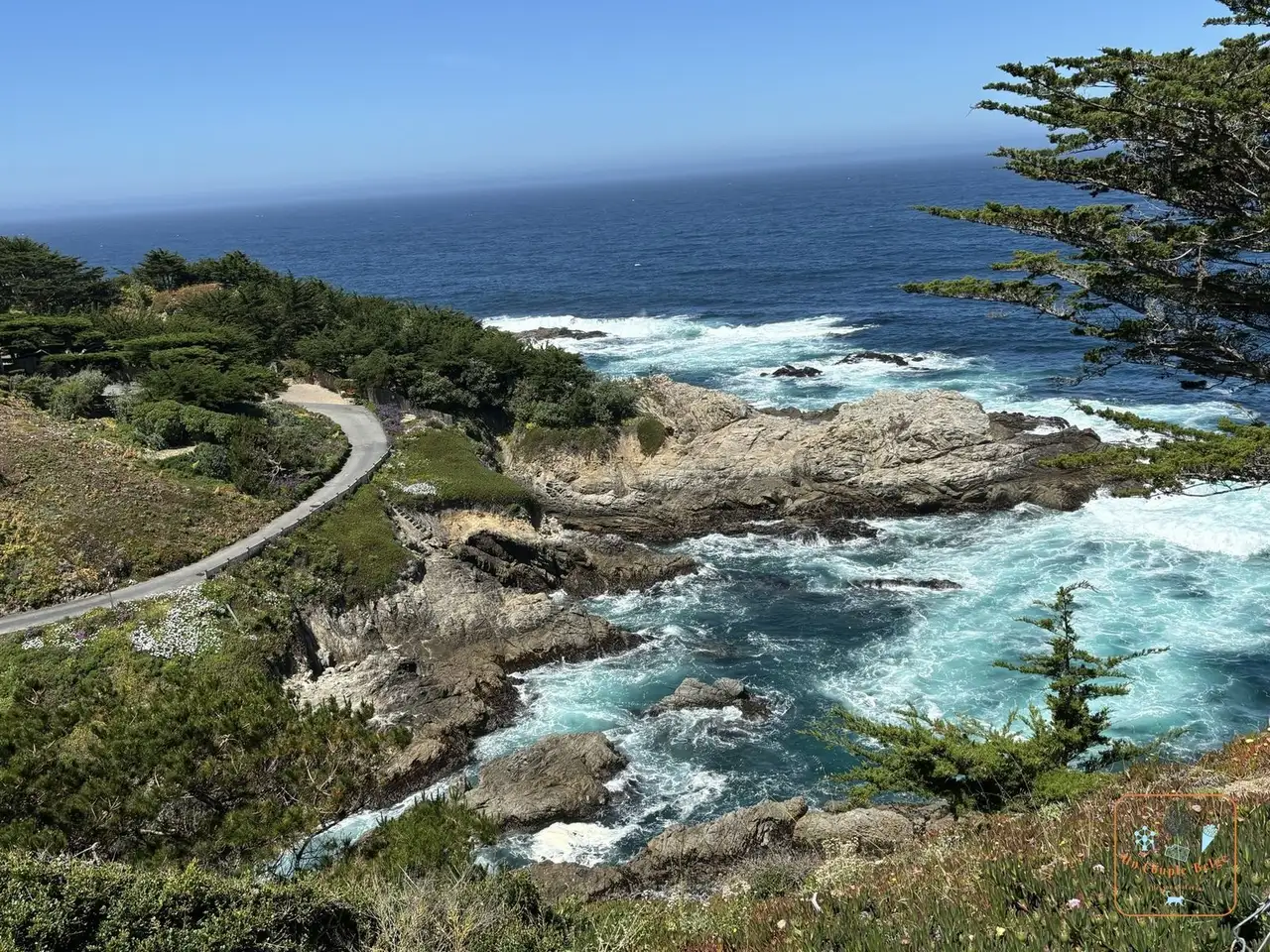 The rocky coast and turquoise water south of Carmel: on the way out of Carmel, a reserve of turquoise coves, rocks and cypresses, crossed by easy trails. That’s where we started the day. Entry costs $10 per car, and the car park fills up fast.
 - Garrapata: a little further on, a free park where you park at the roadside. A loop follows the cliffs of Soberanes Point.
- Bixby Bridge
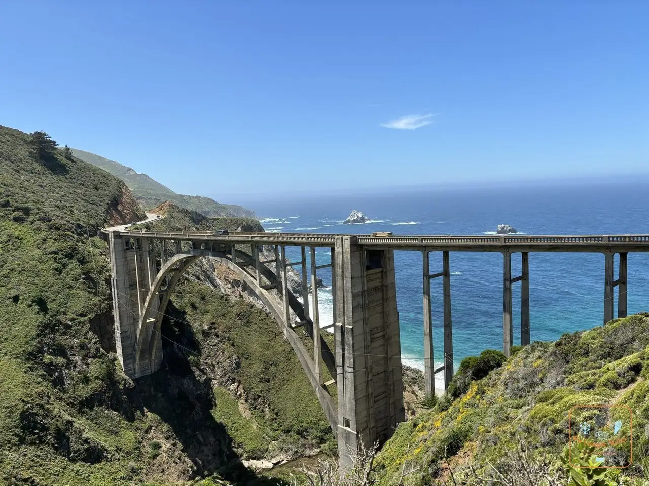 Bixby Bridge and its concrete arch above the canyon: the image of Big Sur. A single concrete arch from 1932, 85 metres above a canyon. At the time it was the highest single-arch bridge in the world. We passed it twice during the day: the evening light
 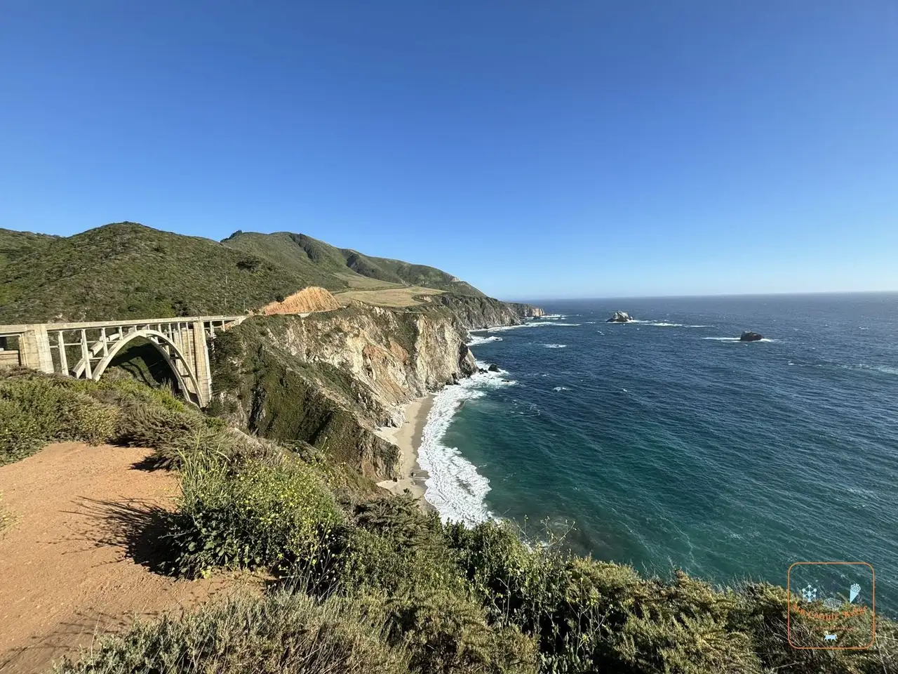 Bixby Bridge and the coast at the end of the day is the most beautiful.
 - Point Sur
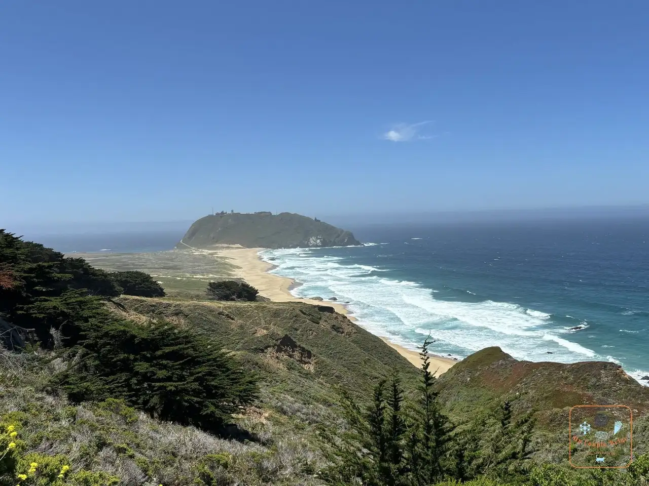 The great rock of Point Sur and its beach seen from above: an enormous volcanic rock joined to the coast by a strip of sand, with an 1889 lighthouse on top. It can only be visited with a guide, on certain days.
 - McWay Falls
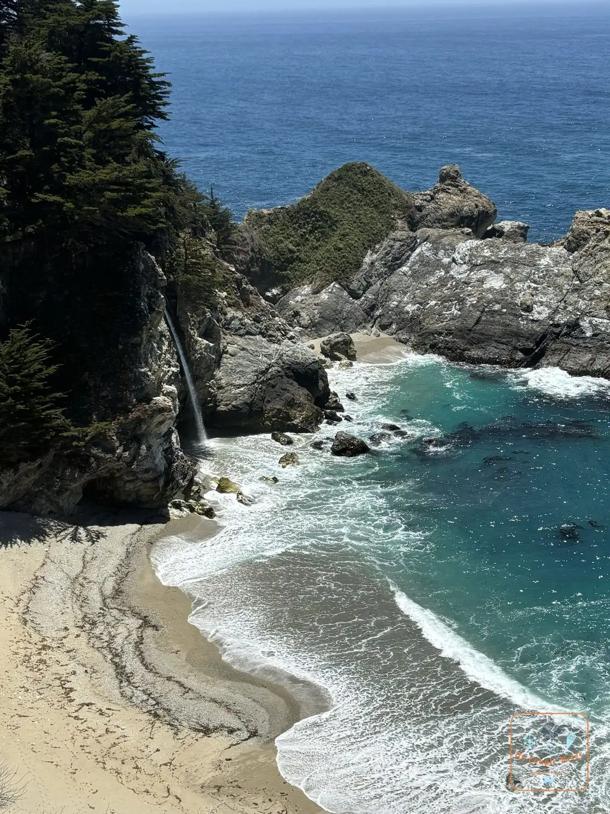 McWay Falls dropping straight onto the beach: a 24-metre waterfall that drops onto the sand of a turquoise cove, in Julia Pfeiffer Burns State Park. The beach is off limits, so you look at it from above. It’s the most photographed spot after the bridge.
 - Pfeiffer Big Sur State Park
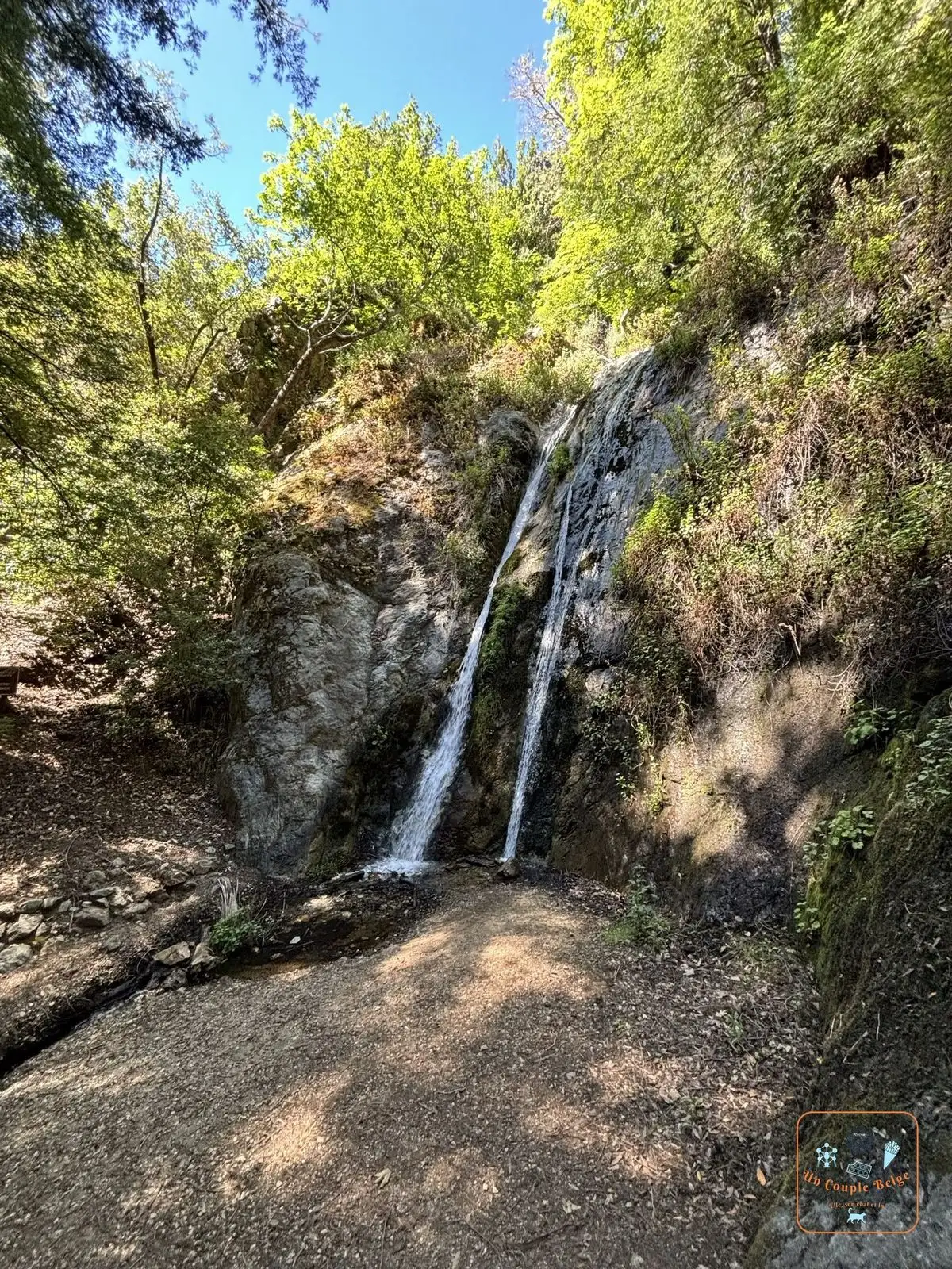 A small waterfall in a lush gorge in Pfeiffer Big Sur State Park: a park in the forest, beside the river. A trail under the coast redwoods leads to a small waterfall, Pfeiffer Falls. We did it on the way back north.
 - Pfeiffer Beach: a beach known for its rock arch and its purple-tinged sand, caused by a mineral in the cliffs. You reach it by a narrow little road, Sycamore Canyon Road, poorly signposted and closed to motorhomes.
- Andrew Molera
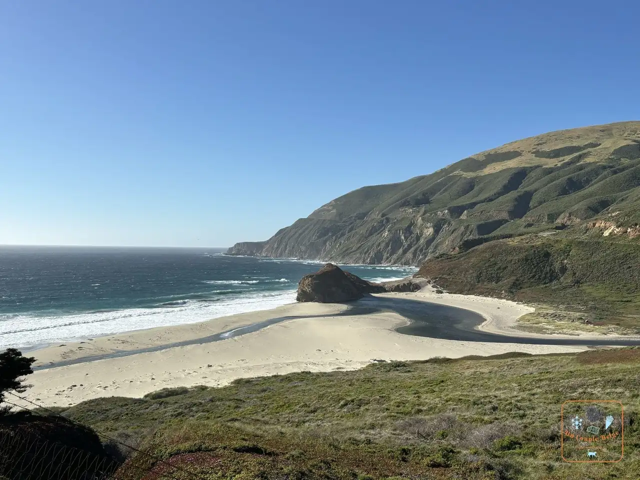 A beach and a lagoon at the foot of the Big Sur hills at the end of the day: the largest park on the coast, at the mouth of the river. A trail leads to Molera Point, a headland above a long, wild beach. That’s where we ended the day.
 - Partington Cove: a steep trail drops to a cove, then goes through a tunnel cut into the rock to an inlet where timber was once loaded onto boats.
- Nepenthe and the Henry Miller Library: a terrace restaurant above the ocean, a local institution since 1949, and a stone’s throw away, a cabin-bookshop dedicated to the writer.
- The south coast: after McWay Falls, the road carries on towards Ragged Point and San Simeon, emptier still. For what comes next, see our guide to Highway One.
Stories and good to know
- McWay Falls used to drop straight into the ocean. In 1983 an enormous landslide brought down enough sand to create the beach. Today the waterfall only reaches the water at high tide.
- Bixby Bridge is a victim of its own success. Since summer 2026, the county has banned parking for several hundred metres on either side of the bridge. Look for a pull-out further along and walk.
- California condors had disappeared from the wild by 1987. They have been released at Big Sur since 1997, and you sometimes see them soaring above the cliffs.
- The purple sand at Pfeiffer Beach shows up best after rain.
- The trees of Big Sur aren’t the same as those of Sequoia. These are coast redwoods, slimmer and taller, here at the southern limit of their range.
Practical information for your road trip
- Getting there: Big Sur begins on the way out of Carmel, 2 hrs 30 south of San Francisco. Allow 45 minutes from Carmel to Pfeiffer Big Sur, and about an hour to McWay Falls, not counting stops.
- Which direction: north to south, to drive on the ocean side and stop easily.
- Fuel: fill up in Carmel or Cambria. The few petrol stations at Big Sur are among the most expensive in California.
- Phone signal: there’s almost none. Download the map before you set off.
- Parking: the car parks are small and full by late morning. Never park half on the roadway.
- State parks: $10 per car. Keep the ticket: in principle it’s accepted in the other state parks on the coast the same day.
- Pfeiffer Beach: parking costs $15, in cash. It’s run by the Forest Service, not the state parks.
- Where to stay: on site, a few lodges and campgrounds, often over $250 a night. We preferred to sleep in Carmel and do Big Sur as a day trip.
Our experience in Big Sur
We spent a very full day there in early June 2024, during our road trip 1, starting from Carmel. The road was cut to the south: we drove down as far as the barrier, then came back up, passing Bixby Bridge again in the evening light.
Our day-by-day journals are coming soon.
Quick quiz
Question 1 / 3
Expert
Big Sur: 145 km of cliffs between the mountains and the Pacific
On the ground

Sponsored by UnCoupleBelge
Follow us on Instagram
Box sponsored by a partner
Other places nearby
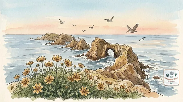
Channel Islands: the Californian Galápagos, a world apart
Five wild islands off the coast of Southern California, with no roads or hotels, but with cliffs, sea caves and a fox found nowhere else.
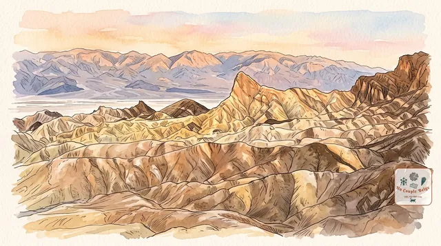
Death Valley: salt, dunes and the lowest point in North America
A vast desert of salt flats, dunes and hills in every colour. Superb from October to April, dangerous at the height of summer.
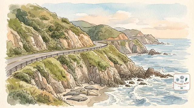
Highway One: the Californian coast road, from San Francisco to Los Angeles
More than 1,000 km along the Pacific: cliffs, beaches, elephant seals, smart little towns and, in the middle, the bends of Big Sur.
Comments