Highway One: the Californian coast road, from San Francisco to Los Angeles
Updated on
How long should you spend there?
At a glance
- Entrance fee
- The road is free. Allow $10 per car in the state parks, and about twelve dollars for the 17-Mile Drive.
- Best time to go
- September and October, the clearest months. In May and June the coast is often under fog in the morning.
- Book ahead
- Hotels in Carmel and Big Sur, which are few and expensive. Hearst Castle should also be booked ahead.
- Getting around
- By car, without rushing. Always check that the road is open at Big Sur before you set off.
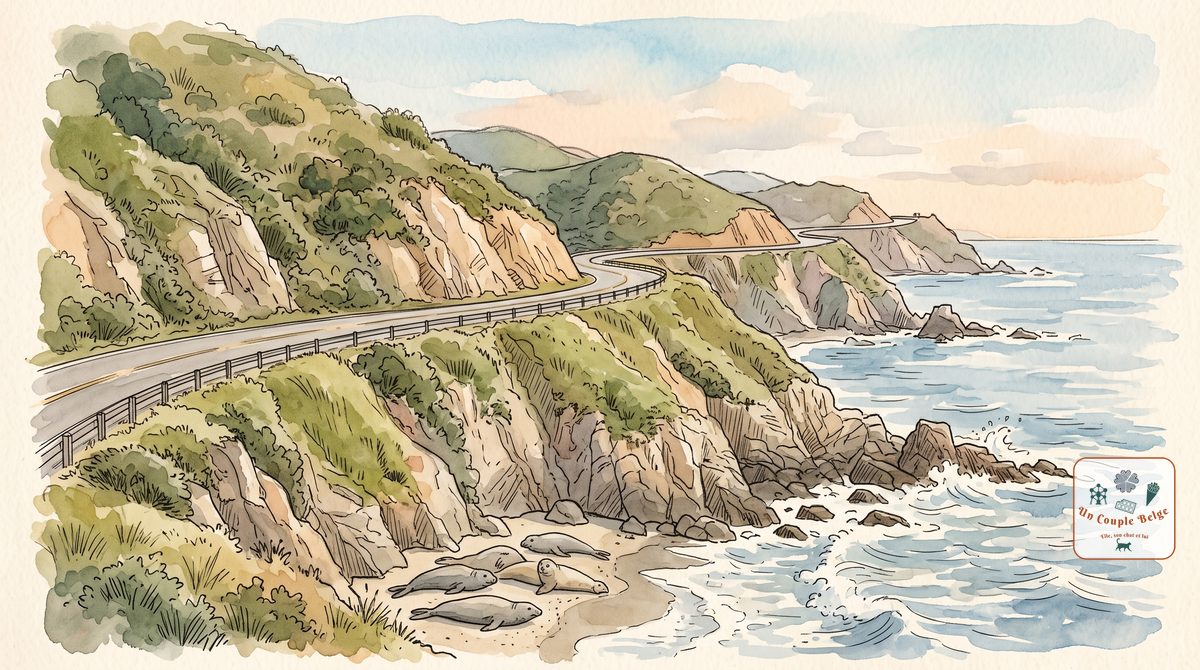
Highway One, or Route 1, follows the coast of California for more than 1,000 km. In the south it’s called the Pacific Coast Highway. It’s a slow, two-lane road, full of bends, squeezed between the ocean and the hills. You drive it for the road itself: most travellers do the stretch between San Francisco and Los Angeles, in three to five days.
History and origins
The road was built piece by piece, between the 1910s and the 1960s. The hardest section, through Big Sur, took eighteen years of work, partly carried out by convicts. The crews who had set out from the north and the south met in 1934, and the road was opened in June 1937.
Today it measures 1,055 km, from Dana Point, south of Los Angeles, to Leggett, in the far north. The Big Sur stretch is designated an “All-American Road”, the highest distinction for a scenic road in the United States.
The stops, from north to south
- Point Reyes and Mendocino: north of San Francisco, the road is wilder and far less busy. Cliffs, lighthouses, and Mendocino, a wooden village perched above the ocean.
- San Francisco: the usual starting point. Route 1 crosses the Golden Gate Bridge here.
- Santa Cruz
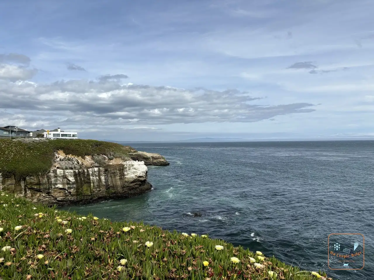 The flower-covered cliffs of West Cliff Drive in Santa Cruz: a surfers’ town, with a clifftop road, West Cliff Drive, and an amusement park on the beach since 1907. Its wooden roller coaster dates from 1924.
 - Monterey: the former capital of Spanish California, known for its aquarium, one of the most highly regarded in the world.
- The 17-Mile Drive
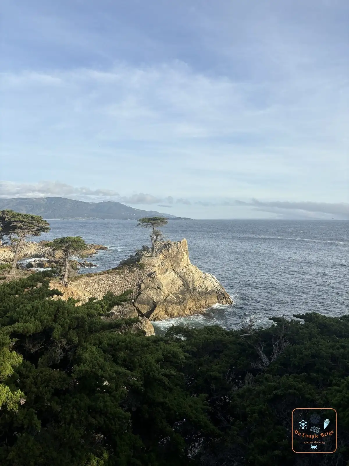 The Lone Cypress on its rock above the ocean: a private toll road between Pacific Grove and Carmel, among the villas and golf courses of Pebble Beach. Its best-known stop is the Lone Cypress, a cypress that has stood alone on its rock for more than 250 years.
 - Carmel-by-the-Sea
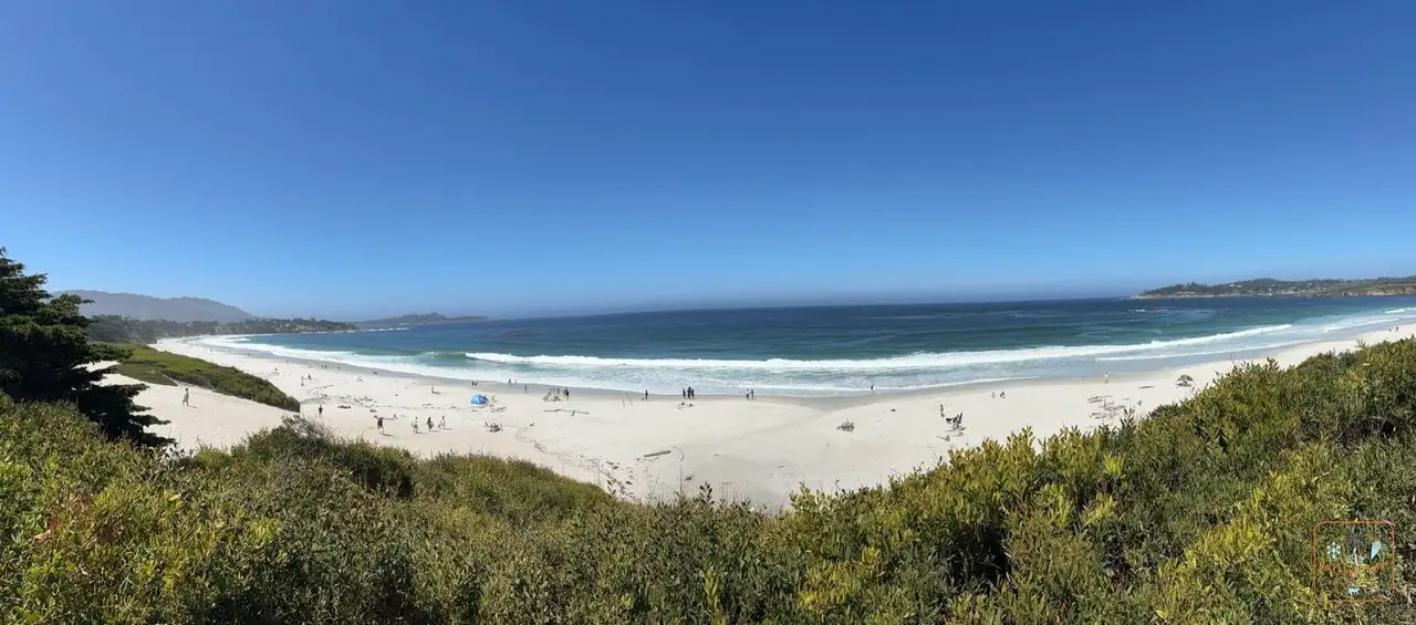 The long white-sand beach of Carmel-by-the-Sea: a smart little town of fairy-tale cottages, with a long beach of white sand. Clint Eastwood was once its mayor.
 - Point Lobos
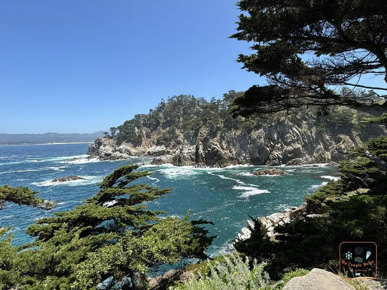 A cove surrounded by cypresses and cliffs at Point Lobos: a reserve just south of Carmel, with clifftop trails among turquoise coves and twisted cypresses. We saw seals asleep on a beach there
 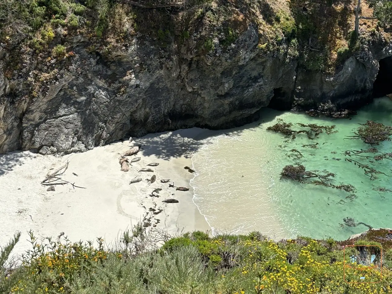 Seals lying on the white sand of a turquoise cove. The car park is small: come early.
 - Big Sur
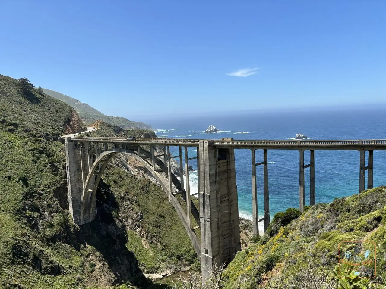 Bixby Bridge and its concrete arch above the canyon: 145 km of road clinging to the cliffs, the most beautiful stretch. This is where you’ll find Bixby Bridge and McWay Falls
 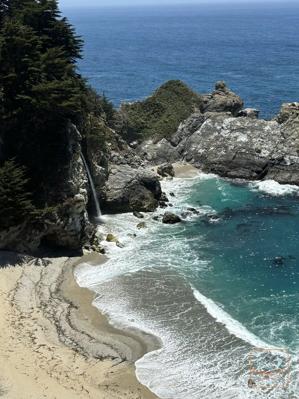 McWay Falls dropping straight onto the beach, a waterfall that drops onto a beach. We cover it in detail in our guide to Big Sur.
 - Piedras Blancas
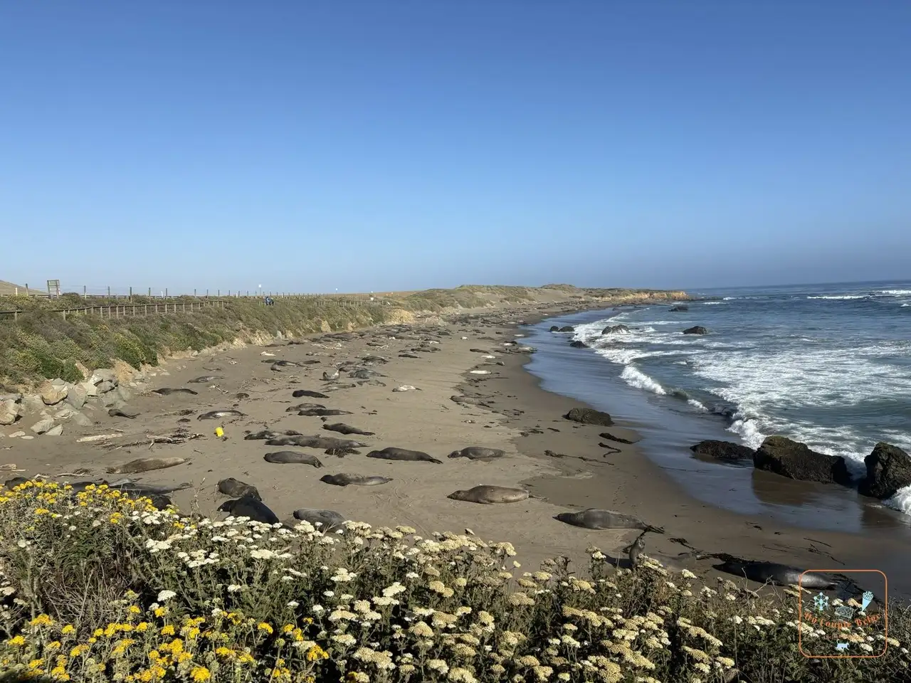 Dozens of elephant seals on the beach at Piedras Blancas: hundreds of elephant seals on a beach, visible from a boardwalk beside the car park. It’s free and open all year. The males weigh over two tonnes.
 - Hearst Castle: the outsized castle of a press baron, on a hill above San Simeon. It can only be visited with a guide.
- Morro Bay
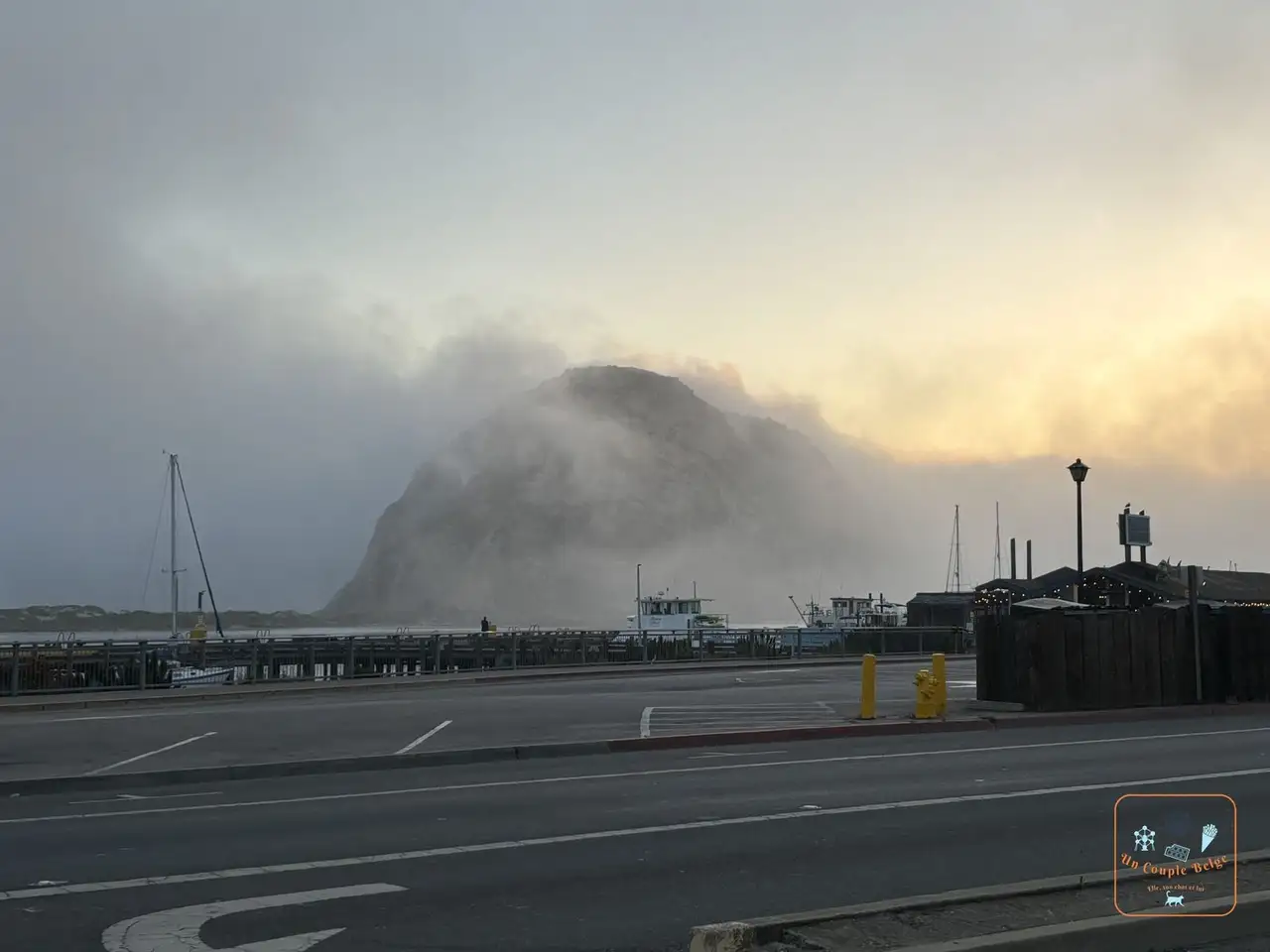 Morro Rock in the fog above the harbour of Morro Bay: a fishing port dominated by Morro Rock, a 175-metre former volcano planted at the entrance to the bay.
 - Solvang
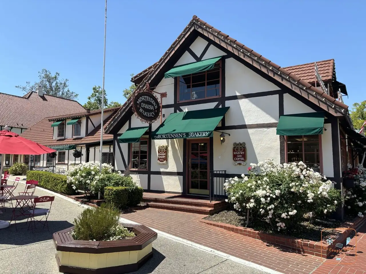 A Danish-style half-timbered bakery in Solvang: 20 minutes from the coast, a village founded in 1911 by Danes, with its half-timbering, windmills and pastries.
 - Santa Barbara
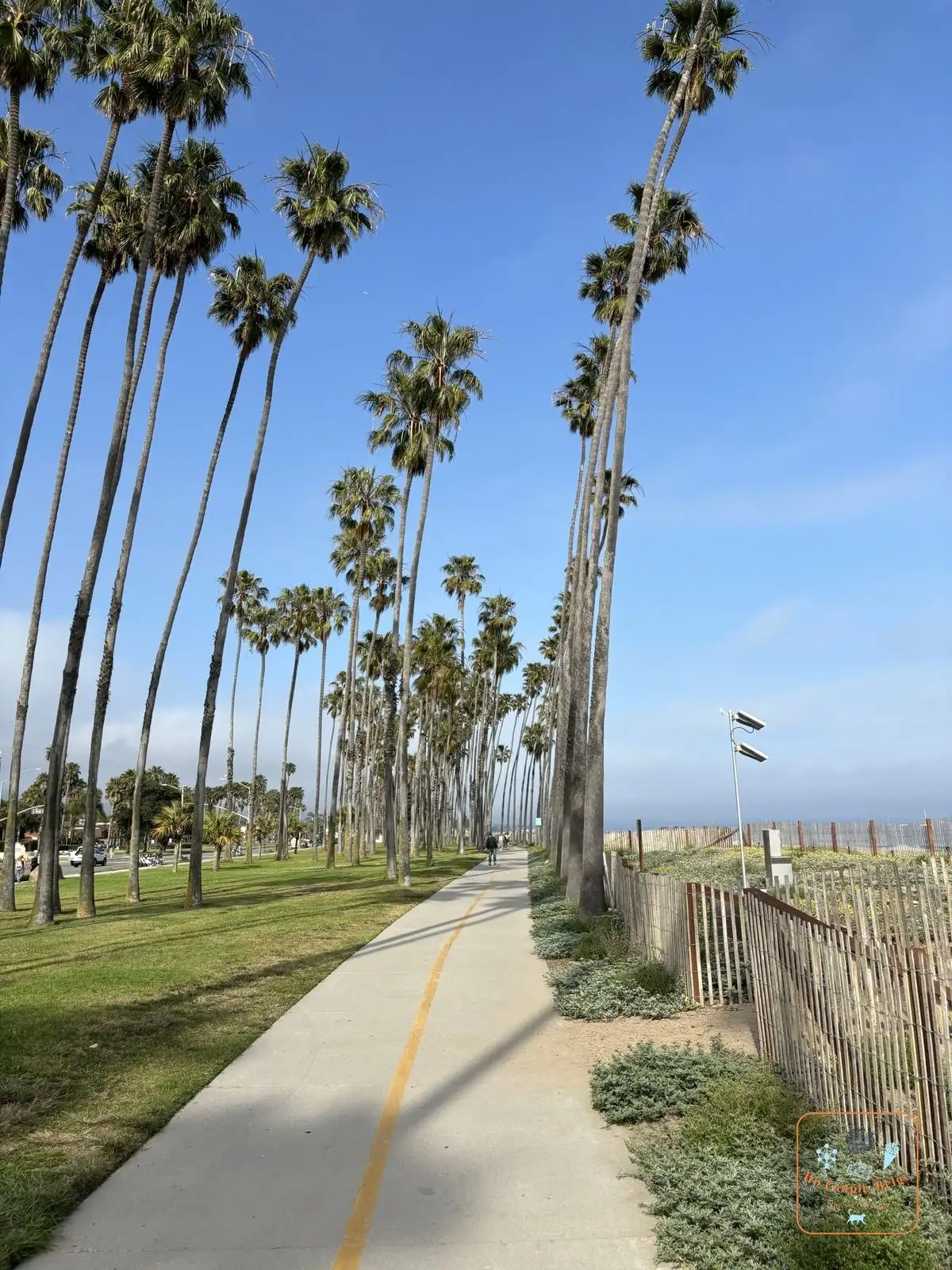 The promenade lined with tall palm trees along the beach in Santa Barbara: white walls, red roof tiles and palm trees along the beach. Don’t miss the courthouse
 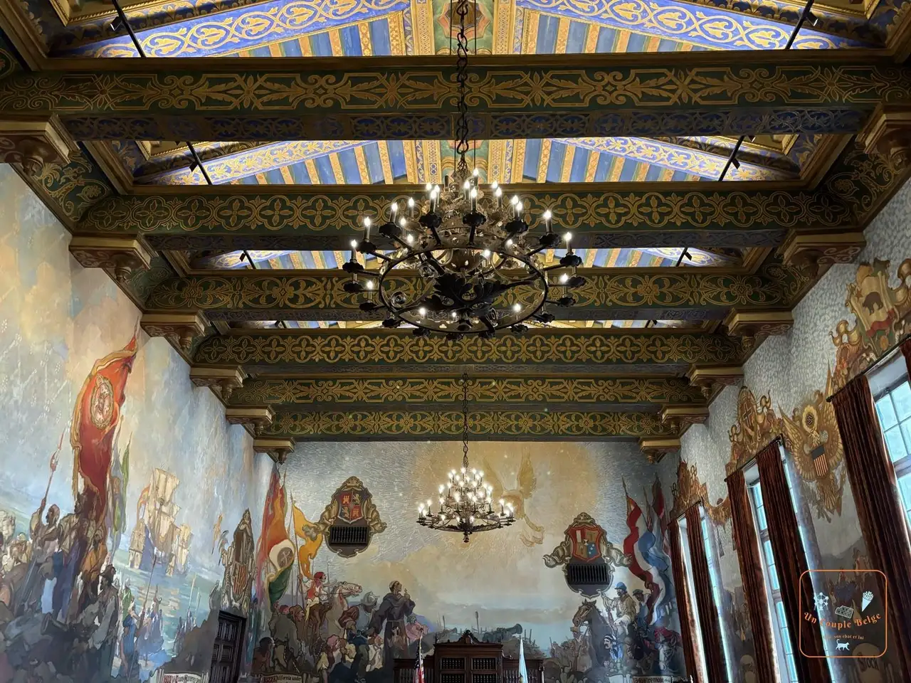 The Mural Room of the courthouse and its historical frescoes, a Spanish-style palace you can visit for free, and the pier at Stearns Wharf.
 - Malibu and Santa Monica
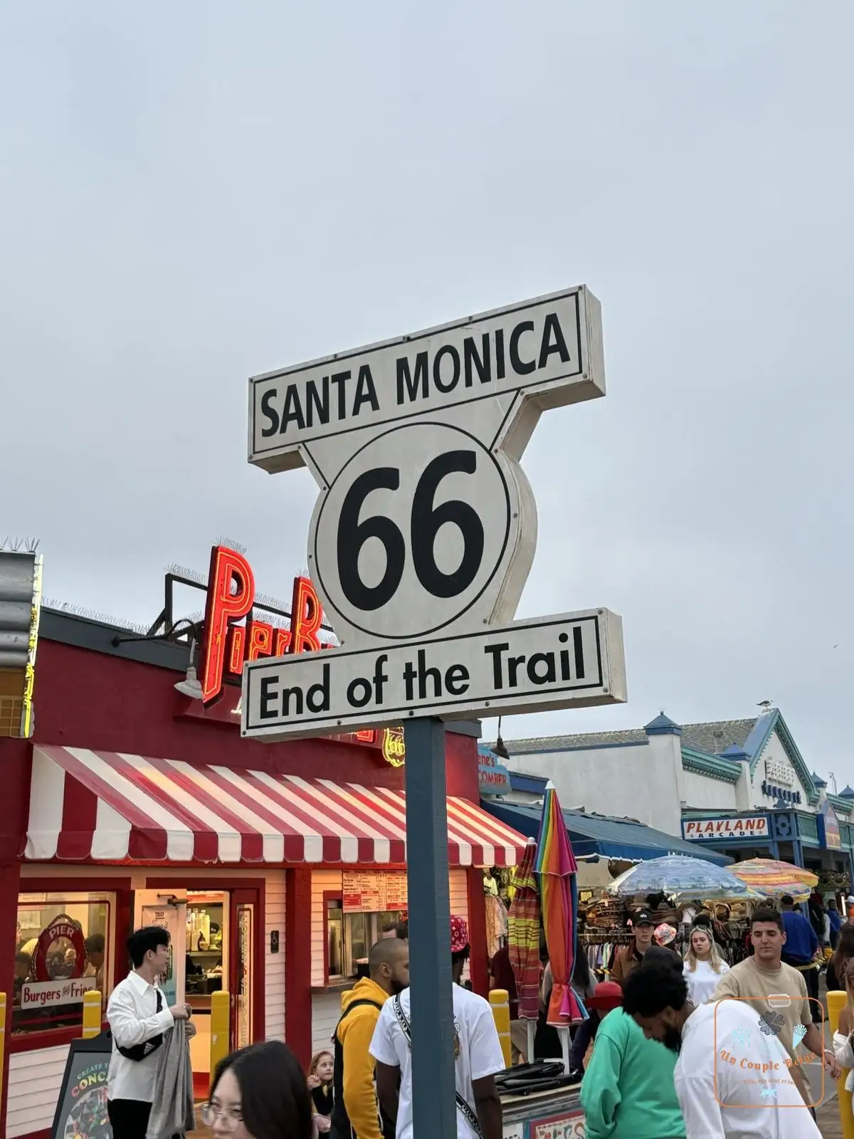 The Santa Monica 66 End of the Trail sign on the pier: the road runs along the beaches of Malibu before reaching Los Angeles. We came into Santa Monica at the foot of the California Incline, a ramp that GTA V players will recognise. On the pier, a sign marks the end of Route 66.
Stories and good to know
- The fog has a name here too: “June Gloom”. In May and June, low cloud covers the coast in the morning and often lifts around midday. We saw Morro Rock twice, and both times in the fog.
- The elephant seals of Piedras Blancas only arrived in 1990. Today thousands of them breed there in winter and moult there in spring.
- Point Lobos and Pebble Beach are home to the only two natural groves of Monterey cypress in the world.
- Between San Francisco and Los Angeles, Route 1 merges in places with Highway 101. Your sat nav will always want to send you that way, because it’s faster. Force the route along the coast.
- In Malibu, the road was closed for several months after the wildfires of January 2025. It has reopened, but the landscape still bears the scars.
Practical information for your road trip
- Which direction: north to south. You’re then driving on the ocean side, with an unobstructed view and the pull-outs within easy reach.
- How long: from San Francisco to Los Angeles, allow at least three days, ideally four or five. On the map the distances look short, but you rarely go above 60 km/h at Big Sur.
- Where to break the journey: Carmel or Monterey before Big Sur, then Cambria or Morro Bay, then Santa Barbara. That’s what we did.
- Fuel and phone signal: fill up in Carmel or Cambria. At Big Sur, petrol stations are few and very expensive, and there’s almost no phone signal.
- State parks: entry costs $10 per car. In principle, the day’s ticket is accepted in the other state parks at Big Sur and at Point Lobos: keep it on the dashboard. The national parks pass doesn’t apply here.
- 17-Mile Drive: the toll is about $12 per car, refunded if you spend $35 in a Pebble Beach restaurant. Motorcycles are not allowed.
- Hearst Castle: the main tour costs $35 per adult, with bookings opening 60 days ahead.
- Monterey Bay Aquarium: $65 per adult, tickets to be bought online.
- Combine it with: Yosemite and San Francisco before, Los Angeles at the end, as we did on our road trip 1.
Our experience on Highway One
We drove it from San Francisco to Los Angeles in five days, in early June 2024, with two nights in Carmel, one in Morro Bay and one in Santa Barbara. At Big Sur, the road was cut by a landslide: we drove down as far as the barrier, then came back up to go round inland.
Our day-by-day journals are coming soon.
Quick quiz
Question 1 / 3
Expert
Highway One: the Californian coast road, from San Francisco to Los Angeles
On the ground

Sponsored by UnCoupleBelge
Follow us on Instagram
Box sponsored by a partner
Other places nearby
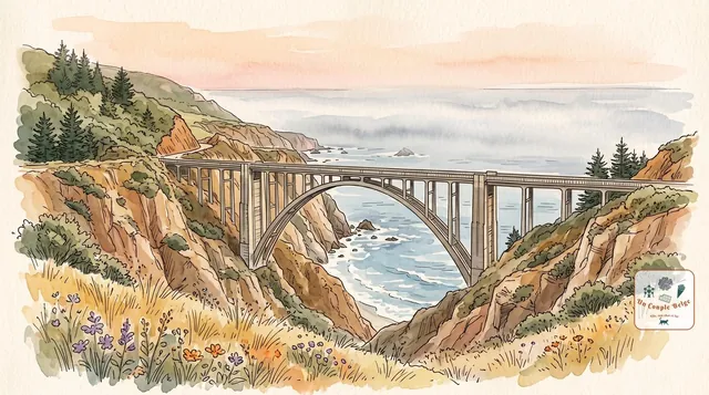
Big Sur: 145 km of cliffs between the mountains and the Pacific
The most beautiful stretch of Highway One: a road clinging to the cliffs, a postcard bridge, a waterfall that drops onto a beach and redwoods beside the ocean.
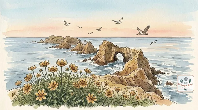
Channel Islands: the Californian Galápagos, a world apart
Five wild islands off the coast of Southern California, with no roads or hotels, but with cliffs, sea caves and a fox found nowhere else.
Death Valley: salt, dunes and the lowest point in North America
A vast desert of salt flats, dunes and hills in every colour. Superb from October to April, dangerous at the height of summer.
Comments