Death Valley: salt, dunes and the lowest point in North America
Updated on
How long should you spend there?
At a glance
- Entrance fee
- $30 per vehicle for 7 days, with no surcharge for non-residents. Card payment only.
- Best time to go
- October to April. In summer it is often over 45°C, and sometimes over 50°C.
- Book ahead
- None to enter. The park's few hotels are booked a long way ahead.
- Getting around
- By car only, with a full tank. Distances are long and there is almost no phone signal.
| Walks and hikes | Distance | Time | Level |
|---|---|---|---|
| Badwater Basin, out on the salt | 1.6 km (round trip) | 30 to 45 min | easy |
| Natural Bridge | 1.6 km (round trip) | 45 min | easy |
| Mesquite Flat Sand Dunes, to the highest dune | 3.2 km (round trip) | 1 hr 30 | moderate |
| Golden Canyon | 4.8 km (round trip) | 1 hr 30 to 2 hrs | moderate |
| Mosaic Canyon | 6.4 km (round trip) | 2 hrs 30 to 3 hrs | moderate |
| Golden Canyon and Gower Gulch loop | 6.9 km (loop) | 2 hrs 30 to 3 hrs | strenuous |
Death Valley is the hottest, driest and lowest national park in the United States. It is also the largest outside Alaska. You imagine an empty desert. In reality, the landscape changes every few kilometres: a white salt flat, dunes, golden hills, pink and green rocks, and mountains over 3,000 metres high all around.
History and origins
The Timbisha Shoshone have lived in the valley for more than a thousand years. They are still there: since 2000, a law has recognised their land at Furnace Creek, in the middle of the park.
The name dates from the Gold Rush. During the winter of 1849, a group of pioneers on their way to California tried a short cut and were lost in the valley for several weeks. Only one of them died there. As they left, one of the survivors is said to have turned round and called out: “Goodbye, Death Valley.” The name stuck.
In the 1880s, borax, a mineral used in laundry products, was mined here. To get it out of the desert, twenty mules were hitched to enormous wagons, for 265 km to the nearest railway station. These “Twenty Mule Teams” became the symbol of the valley.
The site was protected in 1933 and became a national park in 1994.
What to do there
- Dante’s View
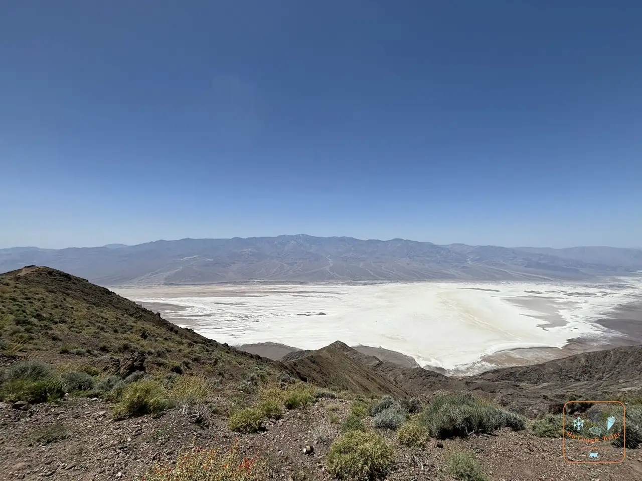 The white valley of Badwater seen from Dante's View: a viewpoint at nearly 1,700 metres, at the end of a winding road. You see the whole valley, with the salt flat almost 1,800 metres below. It is much cooler than down in the valley. We even drove back up in the evening, to see the salt shining under the moon.
 - Zabriskie Point
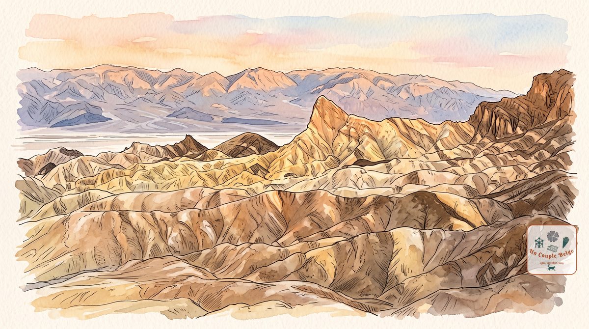
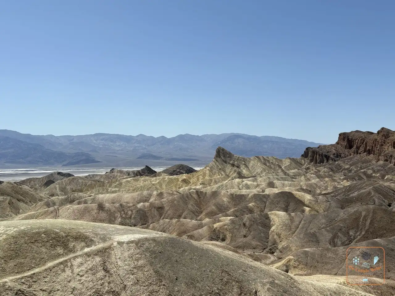 The golden, rippled hills of Zabriskie Point with Manly Beacon: rippled hills in yellow, ochre and brown, the remains of an ancient lake. The viewpoint is a few minutes’ walk from the car park. It’s the most popular spot in the park at sunrise.
 - Badwater Basin
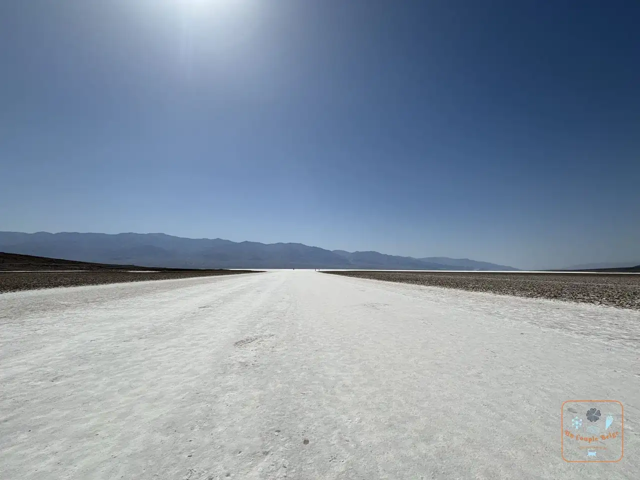 The white salt crust of Badwater Basin as far as the eye can see: the lowest point in North America, 86 metres below sea level. A boardwalk leads onto the salt, then you walk on the white crust as far as you like. Look up at the cliff above the car park: a “Sea Level” sign
 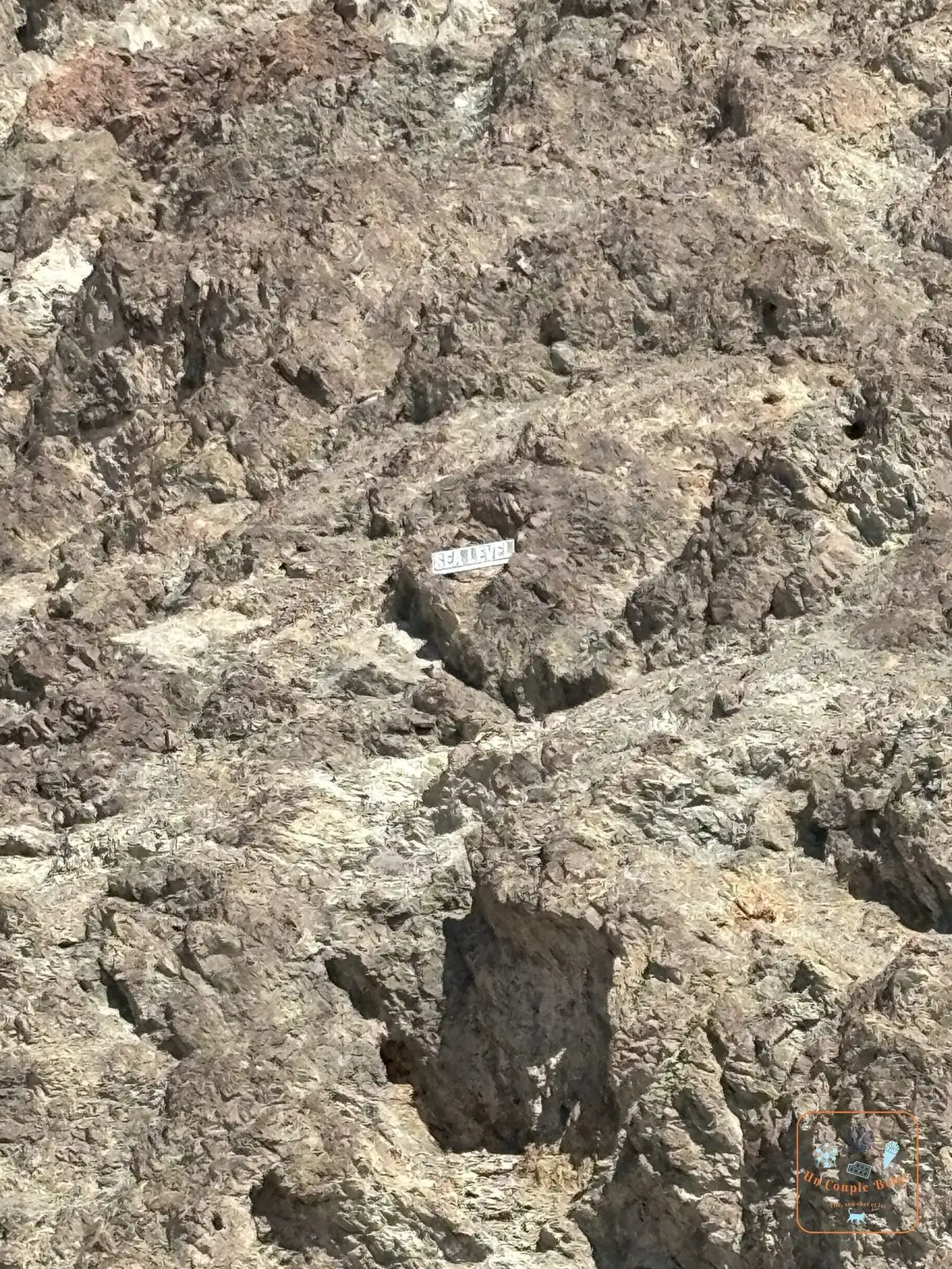 The Sea Level sign fixed high on the cliff above Badwater shows where the sea would be.
 - Devil’s Golf Course
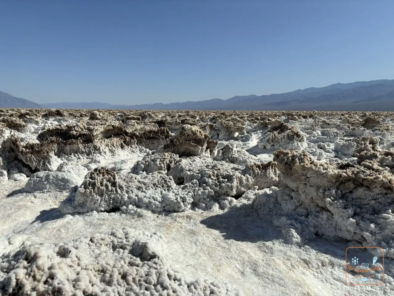 The sharp salt pinnacles of Devil's Golf Course: a field of salt as hard as stone, bristling with points. An old park guidebook said that only the devil could play golf there. Watch where you put your feet: the salt cuts.
 - Natural Bridge
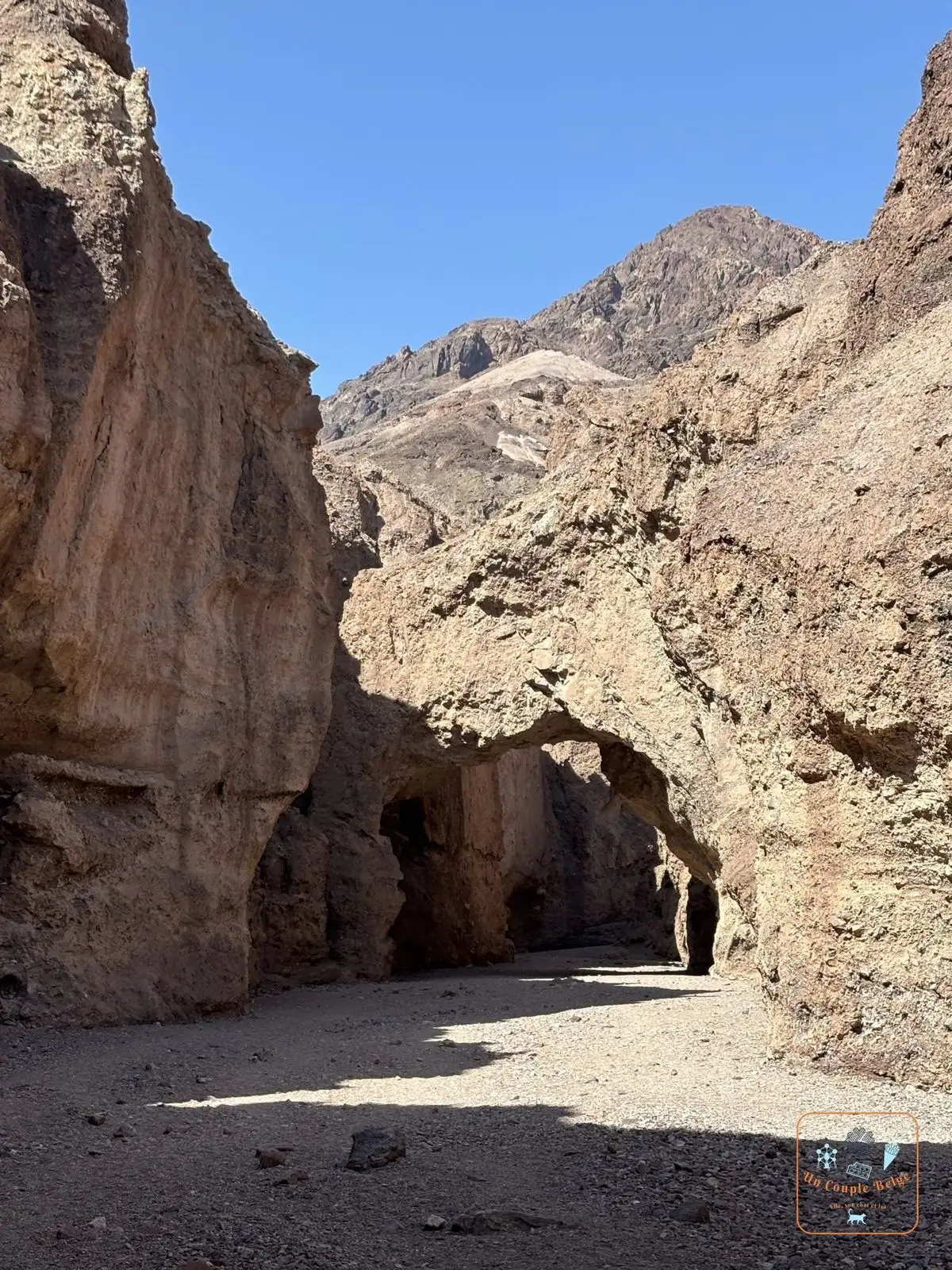 The natural arch of Natural Bridge in a Death Valley canyon: a gravel road, then a short climb up a canyon to a large rock arch.
 - Artists Drive and Artists Palette
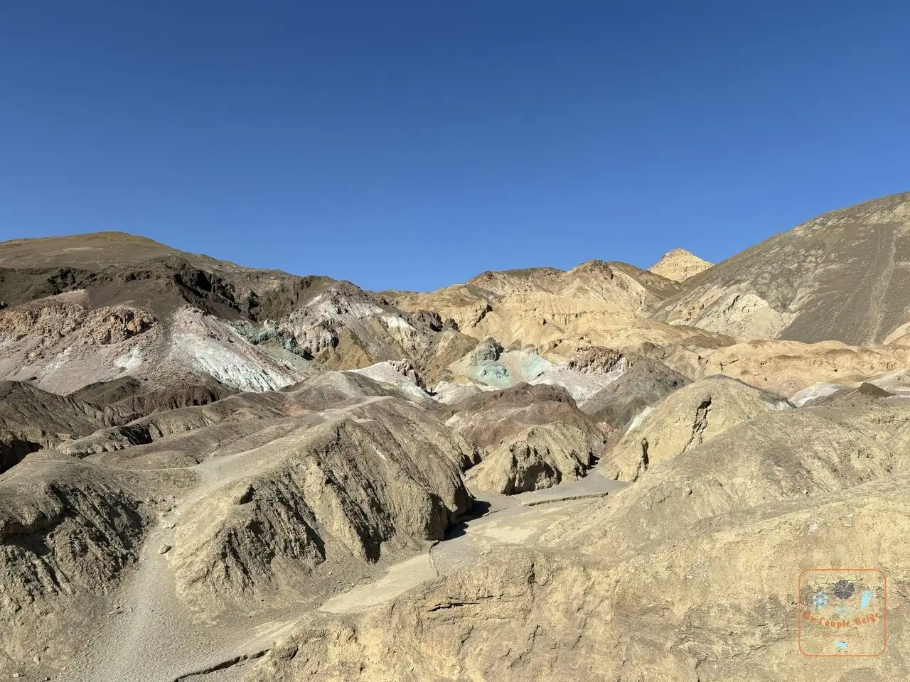 The pink, green and purple hills at Artists Palette: a 15 km one-way road that rises and dips like a roller coaster. Halfway along, pink, green, purple and yellow hills, coloured by the minerals in the rock. Late-afternoon light is best. Vehicles over 7.60 m long can’t get through.
 - Golden Canyon
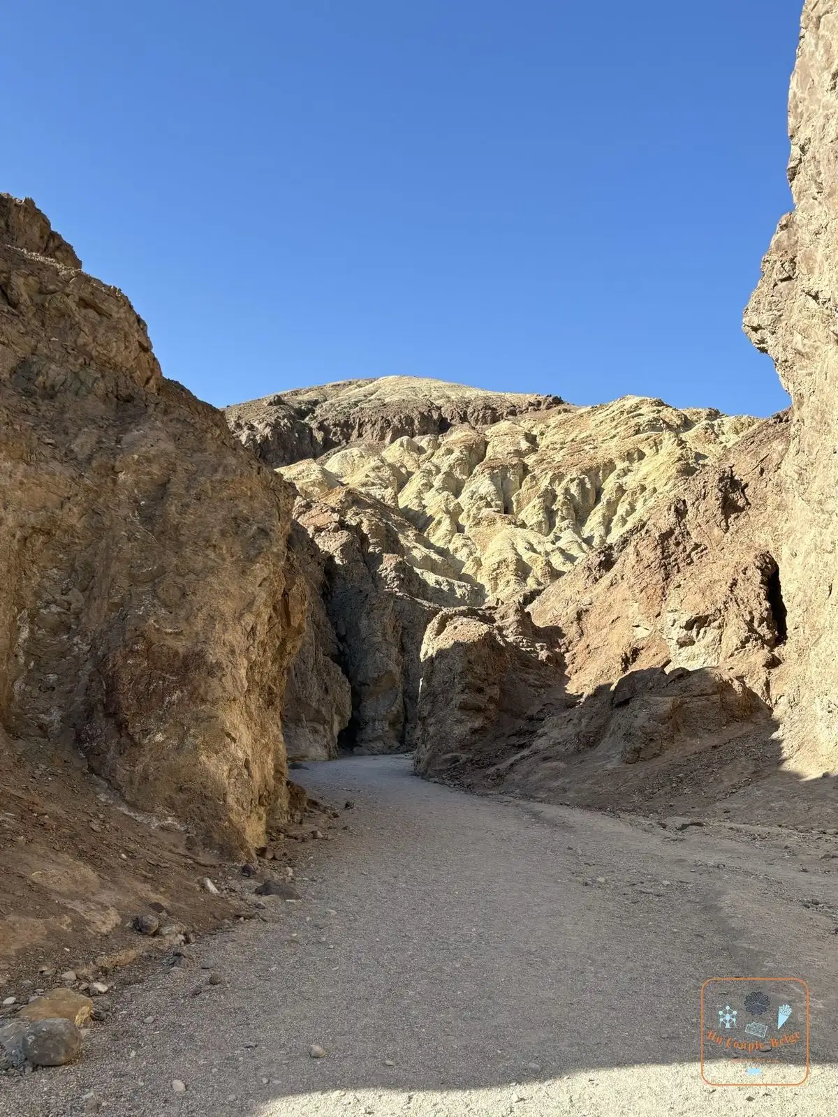 The Golden Canyon trail between golden walls: the most popular trail in the park, between golden walls. You can simply walk in and back, or do a loop via Gower Gulch. It was very hot: we only walked for a quarter of an hour, and it was already beautiful.
 - Furnace Creek
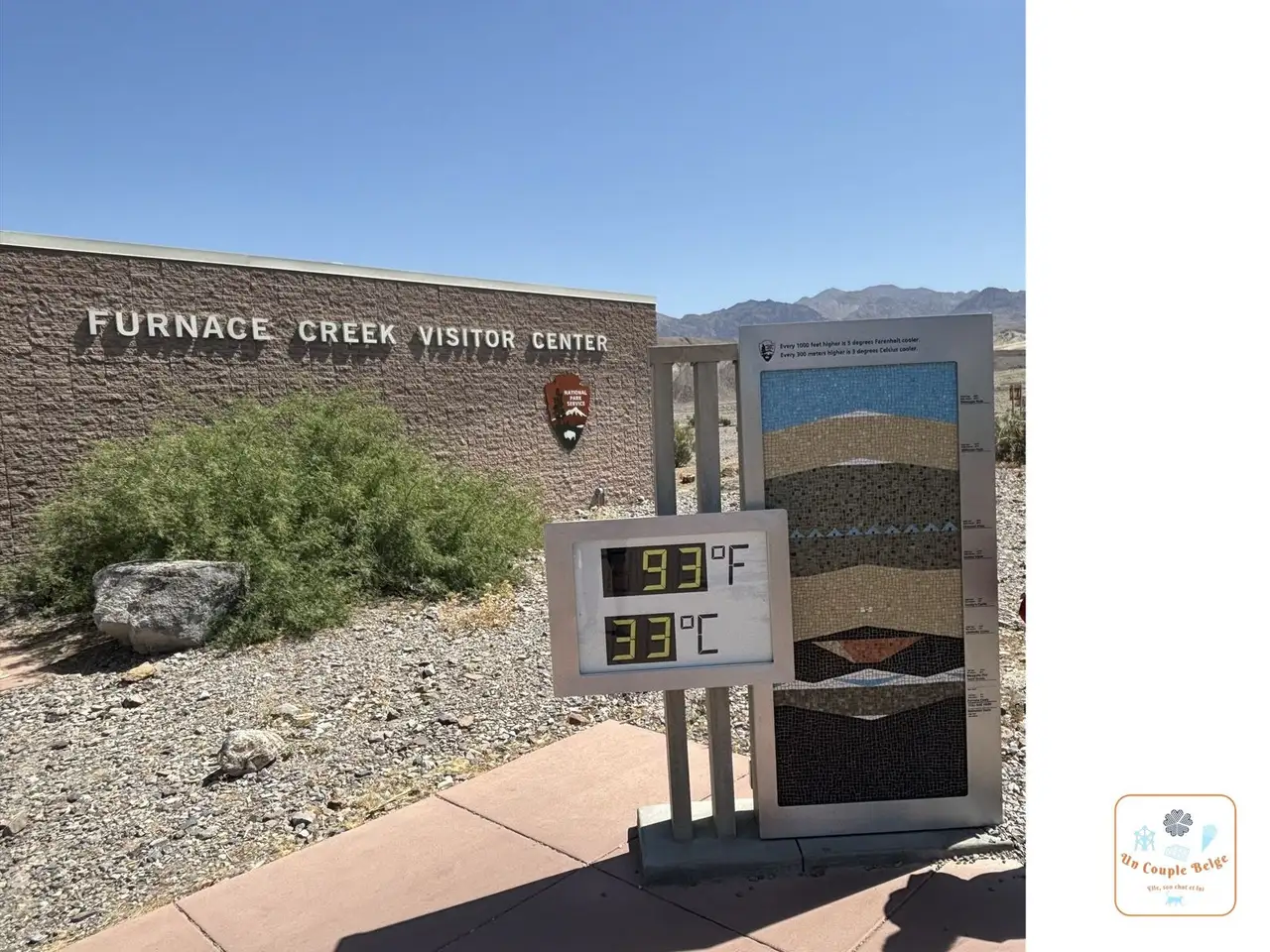 The thermometer at the Furnace Creek Visitor Center showing 93°F, or 33°C: the centre of the park, with the visitor centre and its giant thermometer, which everybody photographs. Right next to it, Harmony Borax Works shows the ruins of a borax plant and one of the famous wagons.
 - The Mesquite Flat dunes
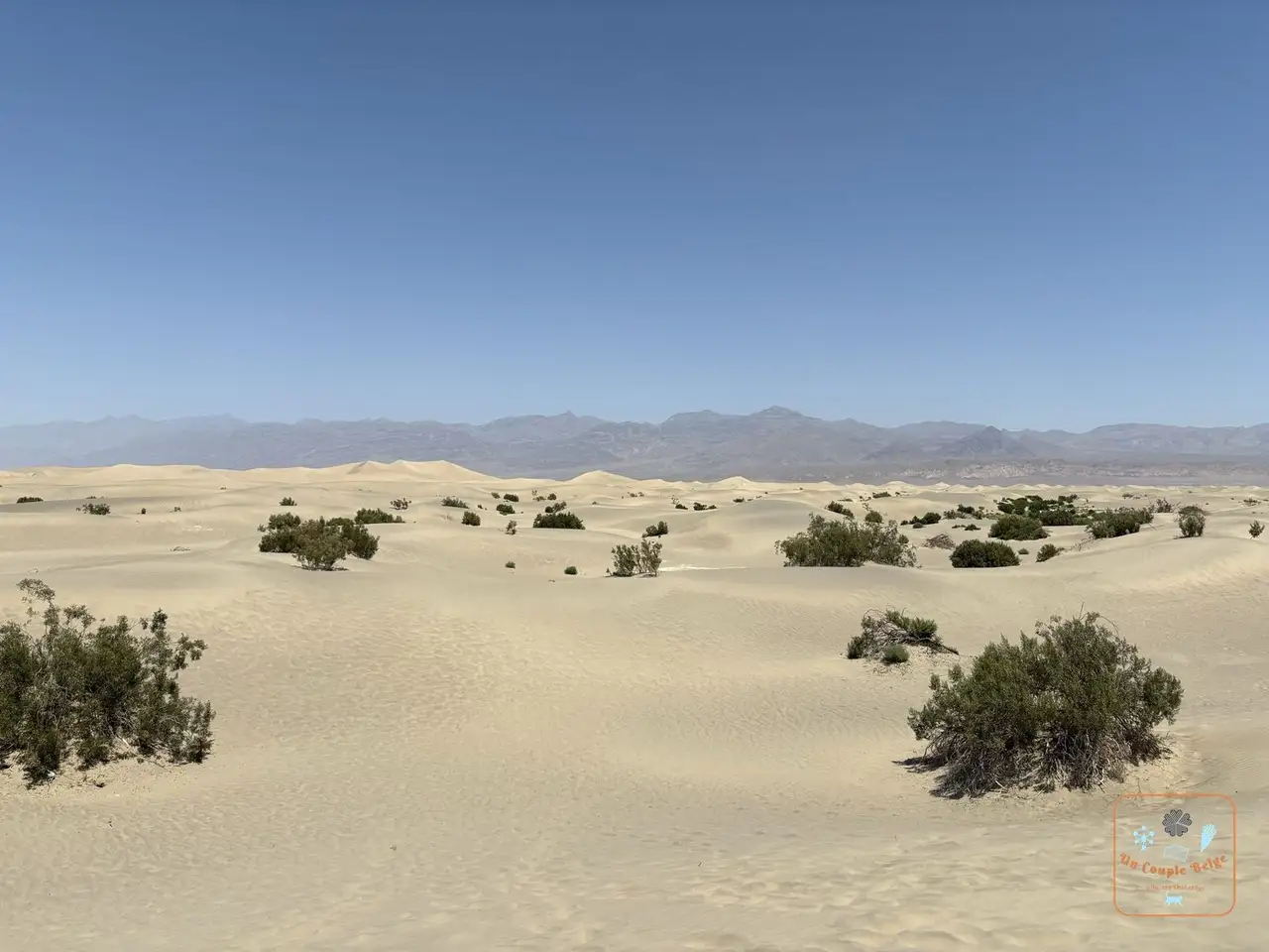 The Mesquite Flat sand dunes dotted with bushes: near Stovepipe Wells, the easiest dunes to reach. You park by the road and head off into the sand, with no trail. The highest is about thirty metres.
 - Mosaic Canyon
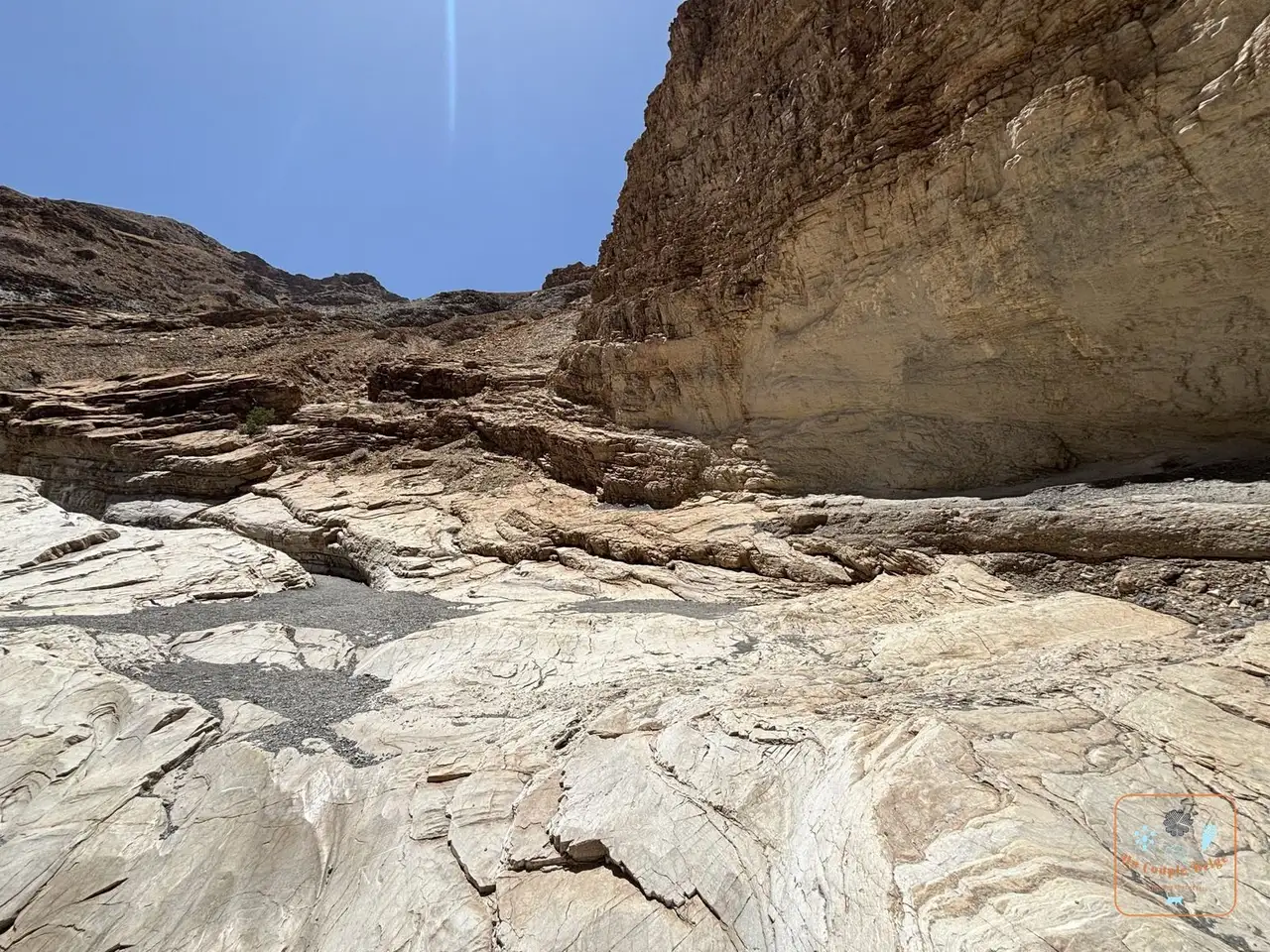 White and grey marble polished by water at the bottom of Mosaic Canyon: a narrow canyon with marble walls, polished by floods. The first kilometre is the most beautiful, with a few places where you need your hands. There too, the heat made us turn back after a quarter of an hour.
 - Twenty Mule Team Canyon
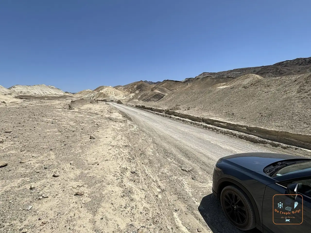 A dirt track among the desert hills, with our car: a 4 km one-way dirt track between yellow hills, passable in an ordinary car in dry weather. We took it just before Zabriskie Point: a little detour that’s worth it.
 - Titus Canyon: a 43 km one-way track that starts near Beatty, crosses a pass and a ghost town, then ends between walls so tight that the car only just fits. You need a high-clearance vehicle and two to three hours. We drove it in 2026, on another trip. The road often closes for repairs: check that it’s open.
- Ubehebe Crater: a volcanic crater 180 metres deep, at the far north of the park. Allow a good hour’s drive from Furnace Creek.
- Father Crowley Vista
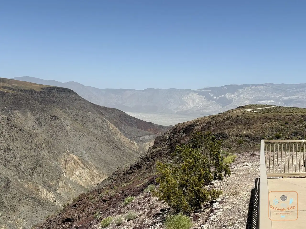 Rainbow Canyon seen from the Father Crowley Vista overlook: at the western exit of the park, a viewpoint over Rainbow Canyon. Fighter jets used to train there at very low level, hence its nickname, “Star Wars Canyon”.
Stories and good to know
- The world record for air temperature was measured at Furnace Creek on 10 July 1913: 56.7°C. When we passed through, at 10.30 on a May morning, the thermometer already read 33°C.
- After very heavy rain, a shallow lake sometimes forms at Badwater. In February 2024, people were even able to kayak on it for a few weeks.
- On Racetrack Playa, a dry lake bed at the end of a long track, stones leave long trails behind them. Nobody ever saw them move. The explanation dates from 2014: in winter a thin layer of ice forms and breaks up, and the wind pushes the sheets, which drag the stones along.
- The park is a designated Dark Sky Park, at the highest level. Far from any town, you can see the Milky Way with the naked eye.
- Furnace Creek is a real oasis, with palm trees, lawns and even a golf course. It is the lowest in the world, about 65 metres below sea level.
- There are fish in Death Valley: pupfish, tiny fish that survive in a few salty springs, the last remnants of a great vanished lake.
Practical information for your road trip
- Pass: we entered with our America the Beautiful pass. It’s all explained in our guide to the national parks pass.
- Paying the entrance fee: there is no booth at the park entrance. You pay at the Furnace Creek Visitor Center or at an automated machine, for example at Zabriskie Point or Badwater. The park does not accept cash.
- Getting there: Furnace Creek is about 2 hours from Las Vegas and 4 hours 30 from Los Angeles. Heading west, allow 2 hours to Lone Pine, at the foot of the Sierra Nevada.
- Distances inside the park: from Furnace Creek, it takes about 30 minutes to Badwater, 30 minutes to Stovepipe Wells and 45 minutes to Dante’s View.
- Fuel: it is available at Furnace Creek, Stovepipe Wells and Panamint Springs, but it costs considerably more than elsewhere. Fill up before you enter, in Pahrump or Beatty if you’re coming from Las Vegas.
- Water and food: do your shopping beforehand. In the park there are only a few small shops and the hotel restaurants.
- Where to stay: at Furnace Creek, The Ranch at Death Valley and the smarter Inn at Death Valley. Otherwise Stovepipe Wells Village, or Panamint Springs to the west. Outside the park, Beatty and Pahrump are cheaper, but an hour’s drive away. Staying in the park lets you see sunset and sunrise. Book early, and expect high prices: there are very few hotels, and almost nowhere to eat other than their restaurants.
- Combine it with: Las Vegas beforehand, then the Sierra Nevada and Sequoia, as we did on our road trip 1.
Our experience in Death Valley
We spent a day and a morning there in May 2024, between Las Vegas and Sequoia. We stayed at The Ranch at Death Valley, at Furnace Creek: one of the only hotels in the area, expensive but good. We came back to the park in 2026, this time for the Titus Canyon road.
Our day-by-day journals are coming soon.
Quick quiz
Question 1 / 3
Where to stay near Death Valley: salt, dunes and the lowest point in North America
Stay22 affiliate links: if you book through here, we earn a small commission at no extra cost to you. Thanks for your support!
On the ground

Sponsored by UnCoupleBelge
Follow us on Instagram
Box sponsored by a partner
Other places nearby
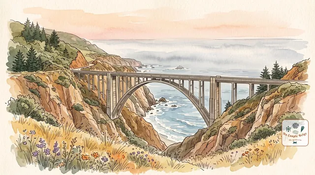
Big Sur: 145 km of cliffs between the mountains and the Pacific
The most beautiful stretch of Highway One: a road clinging to the cliffs, a postcard bridge, a waterfall that drops onto a beach and redwoods beside the ocean.
Channel Islands: the Californian Galápagos, a world apart
Five wild islands off the coast of Southern California, with no roads or hotels, but with cliffs, sea caves and a fox found nowhere else.
Highway One: the Californian coast road, from San Francisco to Los Angeles
More than 1,000 km along the Pacific: cliffs, beaches, elephant seals, smart little towns and, in the middle, the bends of Big Sur.
Comments