The legendary roads of the United States: distances, seasons and which way to drive them
Updated on
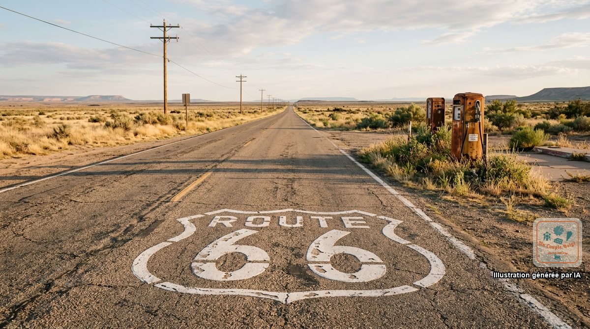
In the United States, the road isn’t just the way to get from one park to the next: some roads are the point of the trip.
We’ve driven several in whole or in part, and others are on our list. Here are the ones worth building an itinerary around.
The summary table
| Road | Where | Length | Recommended time | Best period |
|---|---|---|---|---|
| Route 66 | From Chicago to Santa Monica | About 3,900 km | 2 weeks for the whole thing | May-June, September-October |
| Highway 1 (Big Sur) | California | 145 km from Carmel to San Simeon | 1 to 2 days | April-May, September-October |
| Scenic Byway 12 | Utah | 200 km | 1 to 2 days | May to October |
| Overseas Highway | Florida | 180 km | 1 day out, 2 nights there | November to April |
| Blue Ridge Parkway | Virginia and North Carolina | 755 km | 3 to 5 days | May-June, October |
| Going-to-the-Sun Road | Montana | 80 km | 1 day | July to mid-September |
| Beartooth Highway | Montana and Wyoming | 110 km | Half a day | June to September |
| US-163 at Monument Valley | Arizona and Utah | 70 km | 2 hours | All year |
Route 66
The “Mother Road” linked Chicago to Los Angeles across eight states: Illinois, Missouri, Kansas, Oklahoma, Texas, New Mexico, Arizona and California. Opened in 1926, it celebrates its centenary in November 2026. It was decommissioned in 1985, replaced by motorways, but about 85% of the original route can still be driven.
- The direction: east to west, like the migrants of the 1930s and as in the song, to finish on Santa Monica Pier.
- If you only have a few days: the Arizona stretch, between Seligman, Kingman and Oatman, is the best preserved. We came across the wild burros of Oatman there on our first road trip.
- Good to know: the road no longer appears on ordinary maps. You need a specialist guidebook or a dedicated app to follow the old route.
Everything is in our guide to Route 66.
Highway 1 and Big Sur
Between Carmel and San Simeon, the road clings to the cliff above the Pacific, with Bixby Bridge, the coast redwoods and McWay Falls dropping onto the beach.
- The direction: north to south. You drive on the ocean side, and the viewpoint car parks are on the right, without crossing the road.
- The season: in June, we drove it in fog for a good part of the time. Spring and early autumn are clearer.
- Watch out for closures: landslides regularly cut the road for months. Check its status on the Caltrans website (quickmap.dot.ca.gov) before booking your nights.
- No cheap fuel and no phone signal on this stretch.
See our guides to Highway 1 and Big Sur.
Scenic Byway 12, in Utah
Less well known than the previous ones, it’s for many travellers the most beautiful road in the West. It links the Bryce Canyon area to Torrey, on the doorstep of Capitol Reef, across the plateau of Grand Staircase-Escalante.
- The Hogback: a narrow ridge with a drop on both sides, and no guard rail.
- The stops: Red Canyon, Kodachrome Basin, Escalante, Lower Calf Creek Falls, the Boulder Mountain pass at 2,900 metres.
- You fill up in Escalante or Boulder, nowhere else.
The Overseas Highway, to Key West
US-1 leaves the mainland south of Miami and hops from island to island over 42 bridges to Key West. The longest, the Seven Mile Bridge, runs for eleven kilometres above turquoise water.
We drove it in January, there and then back with a night in Key Largo. The road is worth the journey on its own, but allow at least two nights in Key West: the drive out takes four hours without stops, and it would be a shame to leave again the next morning.
- Mile markers serve as addresses: MM 0 in Key West, MM 106 in Key Largo.
- Speed is limited and heavily enforced, especially on Big Pine Key, home to small protected deer.
See our guide to the Florida Keys.
The Blue Ridge Parkway
It follows the crest of the Appalachians for 755 km, from Shenandoah National Park, in Virginia, to Great Smoky Mountains National Park, in North Carolina. No lorries, no billboards, no traffic lights, and a speed limit of 45 mph (72 km/h).
- The season: mid-October for the autumn colours, May and June for the rhododendrons.
- Closures: snow and ice close sections in winter, and Hurricane Helene damaged several stretches in 2024. Check the closures map at nps.gov/blri.
It continues on from Skyline Drive in Shenandoah National Park.
Going-to-the-Sun Road and the Beartooth Highway
Two high-mountain roads in the northern Rockies, open only in summer.
Going-to-the-Sun Road crosses Glacier National Park from west to east over Logan Pass, at 2,026 metres. Vehicles more than 6.4 metres long are banned. It’s only fully open from late June or early July to mid-October.
The Beartooth Highway climbs to 3,337 metres between Red Lodge, in Montana, and the north-east entrance to Yellowstone. You drive between walls of snow there until June.
US-163 at Monument Valley
A long straight line plunging towards the red buttes: it’s the image of the American West. The viewpoint is at mile 13, on the Utah side, about twenty minutes north of the tribal park.
See our guide to Monument Valley and the one to Valley of the Gods, right next door.
A few tips that apply to all of them
- Halve the distance. On a scenic road, you average 50 km/h with stops.
- Set off with a full tank, water and a picnic.
- Use the pullouts: these lay-bys are for stopping to take a photo and for letting those behind you pass.
- Download the maps beforehand: there’s no signal on almost all of these roads.
For the truly remote stretches, also read long distances and remote roads.