Useful apps for a road trip in the United States
Updated on
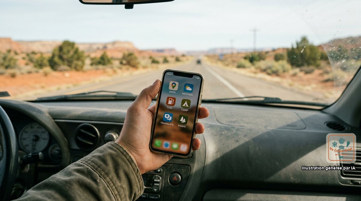
A well-prepared phone replaces the sat nav, the paper guidebook and half the folder of bookings. On one condition: install everything before you leave.
In the parks and on the roads of the West, you can drive for two hours without a single bar of signal, and an app with nothing stored on the phone is no use at all.
Finding your way
Google Maps, in offline mode. Download the areas along your route, region by region: GPS navigation then works without signal. Offline maps expire after a few months, so update them the day before you leave.
Organic Maps or Maps.me. Free maps, entirely offline, with lots of trails and tracks. Useful as a backup when Google Maps hesitates.
The national parks
NPS App. The official app of the National Park Service: maps, trails, shuttles, closure alerts, the location of toilets and water points. Each park can be downloaded for offline use. Free and without adverts.
Recreation.gov. This is where you book federal campgrounds, timed entry slots, permit lotteries (Angels Landing, Half Dome, The Wave) and the digital version of the America the Beautiful pass. Create your account in advance: on the day bookings open, everything goes in a few minutes.
We explain how passes and reservations work in our guide to the national parks.
Hiking
AllTrails. The reference for choosing a trail: distance, elevation gain, photos and recent reviews, very useful for knowing whether there’s still snow or whether a section is closed. The free version is enough for planning; downloading offline maps requires the paid subscription.
Gaia GPS. More technical, for long hikes and tracks.
Fuel
GasBuddy. Shows the price of fuel station by station. From one side of a town to the other, the gap is often as much as 50 cents a gallon. Depending on your country, the app isn’t always offered in your app store: the website gives the same information.
Google Maps also shows prices when you search for “gas station”, though less completely. The rest is in the article on fuel.
Sleeping
- Booking, Hotels.com or a chain’s own app (Hilton, Marriott, Best Western, IHG) to book a motel at the end of the day.
- iOverlander: the collaborative map for van travellers, with free campsites, water points, dump stations, showers and laundromats.
- The Dyrt and Campendium: reviews and photos of campgrounds, public and private alike.
- Recreation.gov for campgrounds in the parks and national forests.
More details in where to sleep in a van or at a campground.
Weather and alerts
- The weather.gov website of the National Weather Service: forecasts for a precise point, and above all the official alerts (flash floods, heat, storms).
- Windy to visualise wind, storms and wildfire smoke.
- Watch Duty to follow active wildfires in the West.
- AirNow for air quality.
See also our article on extreme weather.
Arriving and getting around town
- Mobile Passport Control (MPC): the official US customs app for getting through immigration faster. Be careful, it doesn’t work with an ESTA that has never been used: in New York, with our new ESTA, we were sent back to the regular queue. The instructions are in the article on immigration.
- Your airline’s app for the boarding pass and gate changes.
- Uber and Lyft: both work everywhere, and comparing prices is worth it.
- Waymo: driverless taxis, available in a few cities including San Francisco, Los Angeles and Phoenix. We tried it in San Francisco, and it’s an experience in itself.
- ParkMobile, PayByPhone, SpotHero: for paying a parking meter or booking a space in a car park (see parking in cities).
- Citymapper or Google Maps for the New York subway. You pay directly by contactless with your card or phone.
Eating and going out
- Yelp and Google Maps for restaurant reviews.
- OpenTable and Resy for booking a table.
- Chain apps (Starbucks, Chick-fil-A, McDonald’s) give discounts, but sometimes ask for an American phone number.
- TodayTix for discounted Broadway shows.
Money and practicalities
- Your bank’s app, with notifications switched on, and that of your travel card if you have one (see money and payments).
- An offline currency converter.
- Google Translate, with English downloaded, and camera translation for menus.
- Tricount or Splitwise for keeping accounts within a group.
- A unit converter, or our conversion sheet.
The checklist before you leave
- Google Maps downloaded for the whole itinerary.
- Every park downloaded in the NPS App.
- Accounts created on Recreation.gov and with your rental company.
- Bookings saved as PDFs on the phone, and not only in your emails.
- eSIM installed (see phone and internet).
- Photos of your passport and ESTA in a folder accessible offline.
The ones we actually used
- For the parks and maps: NPS App, Recreation.gov and Maps.me.
- For arrival and getting around: MPC, British Airways, Sixt, Alamo and Waymo.
- For insurance: Europ Assistance and Ethias, with the emergency numbers close at hand.
- For visits and everyday life: Go City, Starbucks and Caesars Rewards, the Caesars hotels’ programme.
- For the drone: Air Aware, which shows where flying is allowed and lets you declare a flight.